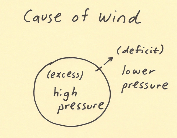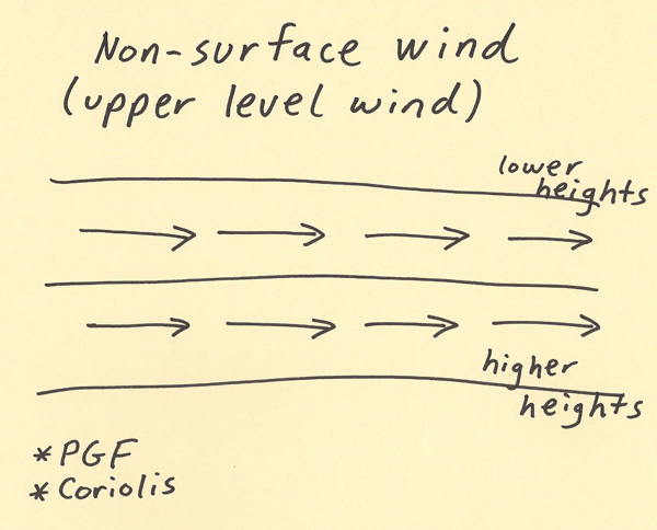
In this first Haby mini lecture, the topic of wind will be focused on. Haby lecture slides will be embedded within the lecture to illustrate and to put into text the important concepts focused on. Wind is one of the most basic and fundamental observations that are made in the current conditions. Wind is the horizontal transport of air. The wind speed is typically expressed in miles per hour, kilometers per hour, meters per second or knots. The wind direction is the direction the wind is coming from. Thus, a south wind in meteorology is air moving from the south toward the north. The wind direction assumes a horizontal wind. Air can move both horizontally and vertically. The horizontal transport component is referred to as advection while the vertical transport component is referred to as convection.  Wind is caused by an imbalance of air pressure. To try to balance air pressure, air will move from higher pressure (excess pressure) toward lower pressure (deficit pressure). An example of this would be air inside a soccer ball. When the ball is inflated, the higher pressure air is trapped inside the ball. However, when a needle is placed in the ball and the air flow is not restricted, the air will flow from high pressure (air inside the ball) toward low pressure (air outside of the ball). Air will continue to move out of the ball until the air pressure inside and outside of the ball are equal.  High and low pressure occur on all scales of weather motion (from planetary motion to local scale motion). The direction of the pressure gradient force (PGF) vector points from high pressure toward low pressure. Thus, air moves to try to fill in areas of lower pressure. Because the Earth rotates and there is surface friction, this simple model is altered in significant ways.  Wind that is well above the surface will not be influenced by ground friction. In this case, the pressure gradient force and the Coriolis force will come into balance (Since Coriolis has a vector equal to but opposite in direction from the pressure gradient force). The Coriolis results from the rotation of the Earth. The net result will be that instead of air flowing from high to low pressure, the air will flow between higher pressure (called higher heights aloft) and lower pressure (called lower heights aloft). A global scale example of the creation of this type of upper level wind is the jet stream.  At the surface where there is friction, the air can flow into low pressure but it does so at an angle. The force of friction slows down the wind and allows the pressure gradient force to overpower the Coriolis force. The Coriolis force magnitude depends on wind speed while the pressure gradient force does not. Thus, a cross contour flow can occur toward lower pressure such as in the diagram below.  The wind speed and direction have an important influence on weather. Since the wind is able to transport air, the direction the wind is coming from will be important to the weather. If the wind is transporting air from a moist source (such as an ocean), this can bring more humid air into a location. If the wind is transporting air from a dry source (such as the interior of a continent), this can bring drier air into a location. The wind speed helps determine how quickly the air from another location will move to a specific location. Thus, wind direction and speed has a major impact on the temperature and humidity. Higher wind speeds tend to cause more vertically mixing of air and this can have a moderating impact on temperature and humidity. Wind is one of the most important observations to make in meteorology.  |