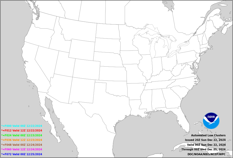
WPC's Automated Low Clusters
Valid 00Z Fri 01/10/2025 - 00Z Mon 01/13/2025

Automated Low Clusters
How are the automated low clusters produced?
WPC's automated low clusters product is generated using cyclone tracks from the Environmental Modeling Center's (EMC) extratropical cyclone
tracker. The cyclone tracker comprises 103 global forecasts from ensemble and deterministic guidance.
These include:
Surface low positions from 0-72 hours are plotted as different colored symbols; colors represent the valid forecast times of the lows
which are listed in the legend at the lower left corner of the plot. This forecast is issued twice daily at 0700 UTC and 2000 UTC.
Two filters are placed on these cyclone points. The first is based on altitude, removing any points at an altitude greater than
1500 meters. This reduces the noise introduced by the complex terrain in the west while still including
the High Plains and lee-side low development. The second filter is based on the mean sea level pressure of the system.
Any low with a pressure greater than 1000 hPa is excluded from the final image. While this will preclude some cyclone locations
from plotting, it will both reduce potential clutter on the map and focus on capturing strong and potentially impactful cyclones.
The derivation of the cyclone plots involves a
K-means clustering technique. In addition to the individual ensemble member low positions, the ensemble
mean of a given cluster for each time step will be represented by an "L" stamp.
Please note that there are some limitations that arise from automation. For example, if the forecast weather pattern
is very active, it is possible that not every cluster of ensemble lows will have an ensemble mean stamp
since the number of clusters must be fixed by design.
- 30 Global Ensemble Forecast System (GEFS) members
- 20 Canadian Ensemble Forecast members
- 50 ECMWF Ensemble Forecast members
- One deterministic run each from the Global Forecast System (GFS), Canadian, and ECMWF models


