Global Ecosystem Dynamics Investigation (GEDI)
High resolution laser ranging of Earth’s forests and topography from the International Space Station (ISS)
High resolution laser ranging of Earth’s forests and topography from the International Space Station (ISS)
MISSION STATUS
LATEST NEWS

Summary of the 2023 GEDI Science Team Meeting
Published in NASA newsletter The Earth Observer
Science Friday and El País América Futura report on GEDI’s return
Data from GEDI gives scientists insight into deforestation in the Amazon rainforest
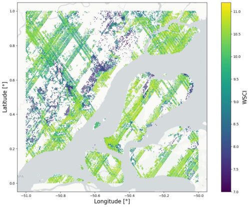
GEDI L4C Footprint Level Waveform Structural Complexity Index Released
estimates of prediction intervals for each footprint estimate at 95% confidence
THE MISSION SCIENCE
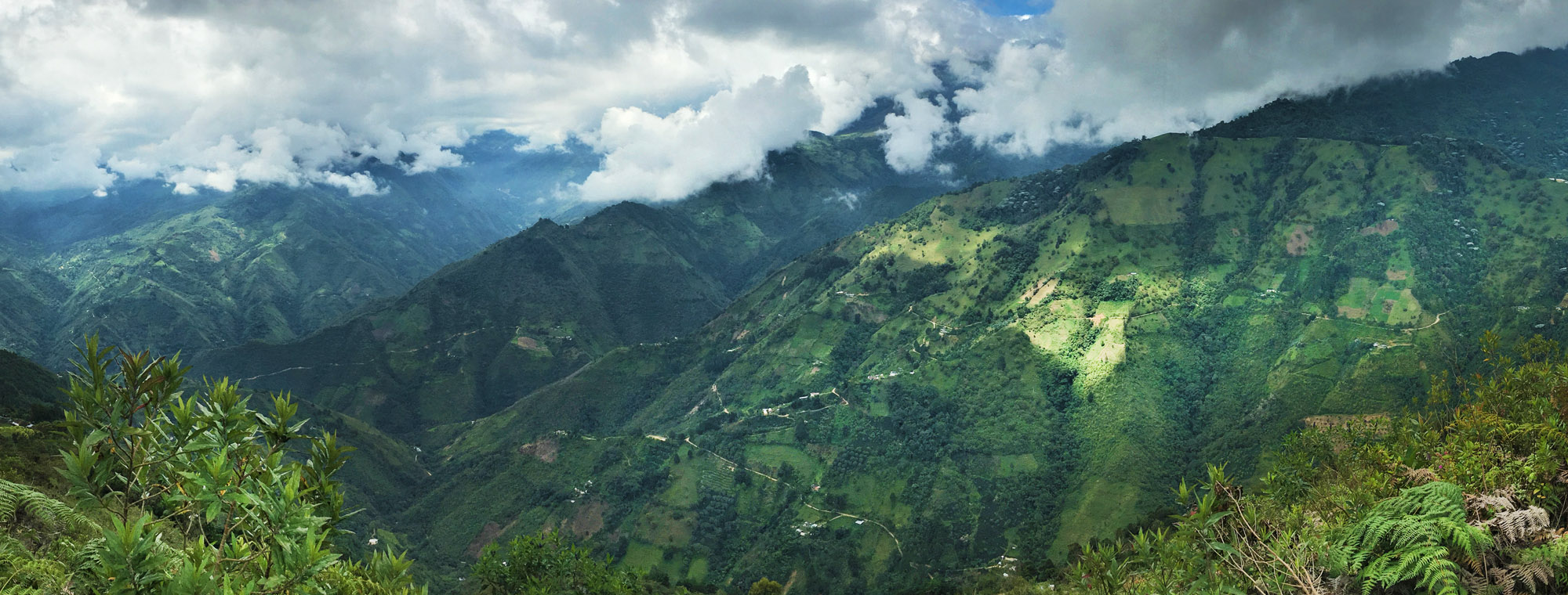
GEDI will provide answers to how deforestation has contributed to atmospheric CO2 concentrations, how much carbon forests will absorb in the future, and how habitat degradation will affect global biodiversity.>>
THE INSTRUMENT & PLATFORM
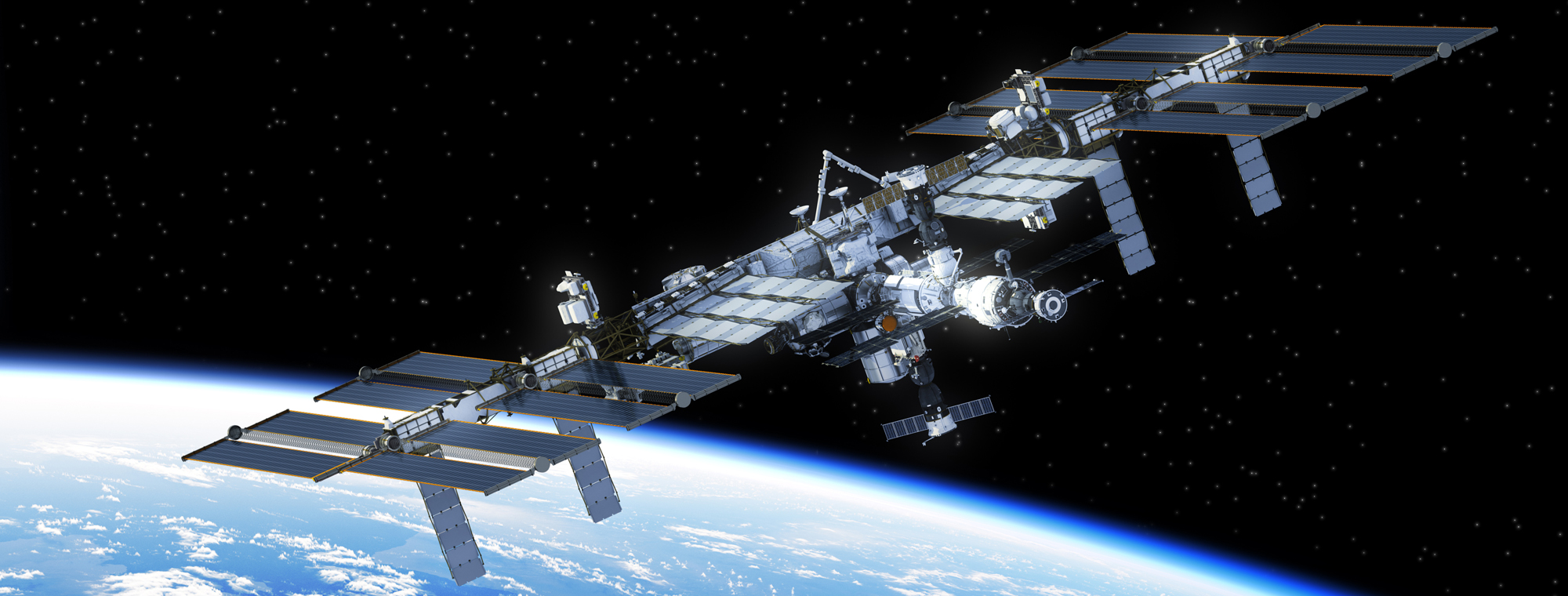
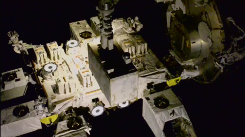
GEDI observes nearly all tropical and temperate forests using a self-contained laser altimeter on the International Space Station.>>
Applications of GEDI Data Products
GEDI’s data are of immense value for forest and water resource management, carbon cycle science, and weather prediction.>>


