|
Note: This describes the April 19, 1996 tornado. For information about the March 12, 2006 tornadoes, please look here.
The second tornado sighting of the day occurred around 6:35 p.m. some 17 miles west of Springfield, Illinois. The group was traveling along I-72 when the funnel was spotted along the backside of a rapidly moving supercell A unique feature of this tornado was that its path was nearly parallel to the interstate.

Rapidly growing "towers" along the supercell's flanking line from a position approximately 20 miles west of Springfield, Illinois looking east.

A well defined condensation funnel forms at the western edge of this supercell thunderstorm. The rear flank downdraft has carved out a marked clear slot on the southern periphery of this tornado. Viewing perspective is east along I-72, approximately 17 miles west of Springfield, Illinois. Note, the time clock in this picture is in Central Standard Time (CST).

Poor contrast prevents the viewer of this picture from determining if the circulation is on the ground at this time. Actual naked eye observations revealed that a debris shield had indeed been created by the tornado.

The tornado enters its dissipation phase while taking on a more sinuous "rope" character.

Coinciding with this phase, dry air wrapped around the wall cloud area nearly isolating this cloud feature. The viewing perspective here is looking east-north-east. The filming location is approximately 12 miles west of Springfield, Illinois.

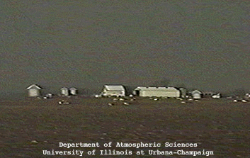
As the tornado track paralleled I-72 west of Springfield, trucks and some structures fell prey to the strong winds.

The drivers may not have been aware of the potential danger since some of the western and central Illinois tornadoes did not have condensation funnels all the way to the surface.

A "tornado jam" with many people huddled under the bridge supports of an interstate overpass west of Springfield, Illinois.

jacksonville video |
|

springfield video |


