Devin Rocco

Mapping and GIS Portfolio

Below you will find a selection of final and conceptual web projects I have recently designed and worked on
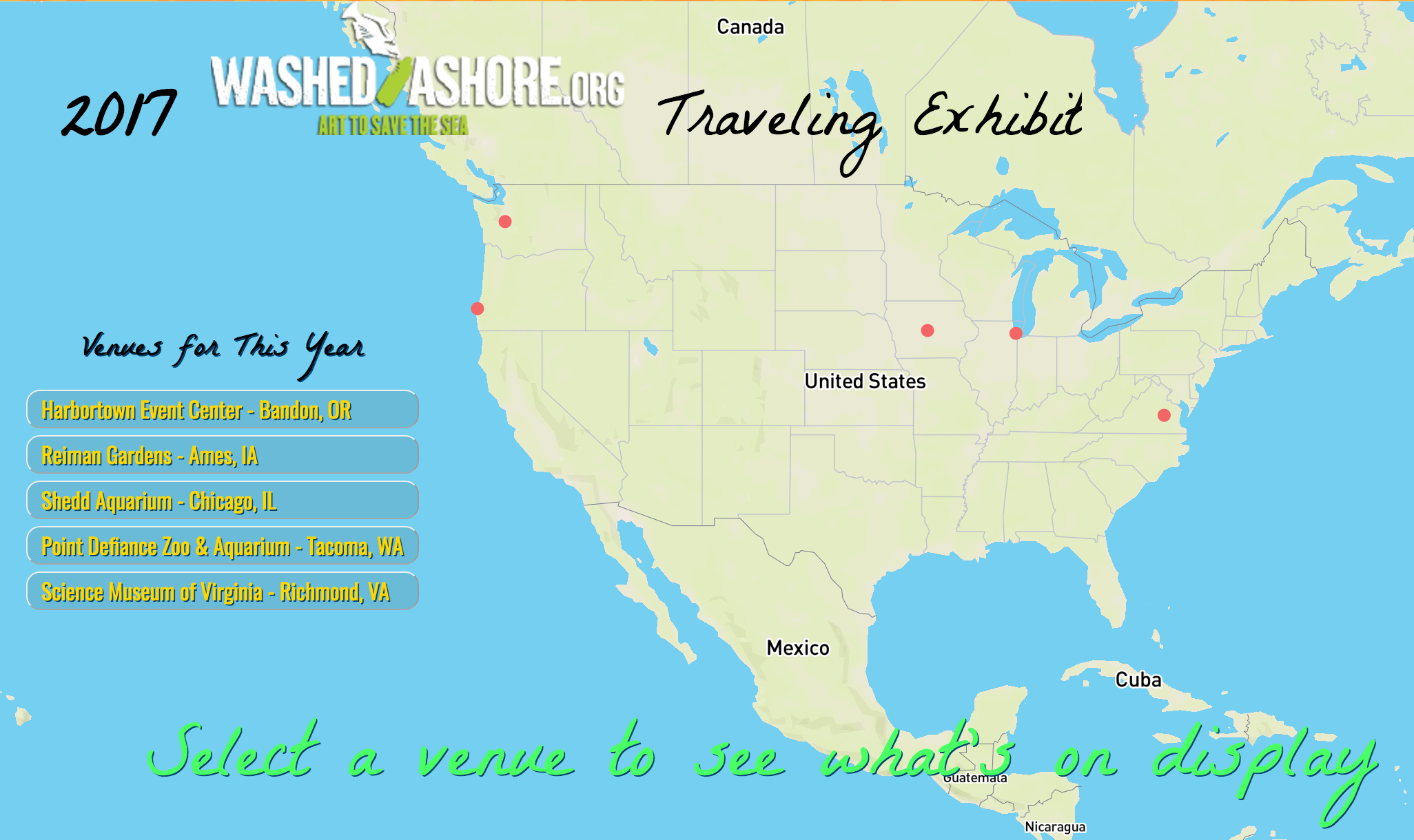
Exhibit Tracking Map

WashedAshore.org Traveling Exhibit Tracking Map

This application was designed on top of mapbox-gl with the use of jQuery and information provided by Washed Ashore. This organization is strongly rooted in arts education. I designed the map to have a playful and creative feel to it rather than have the focus be purely on data display.

Bicycle Route Rating

Cycle Safe: Route Safety Rating

This map was built with custom JavaScript code and the Leaflet-Mapbox JavaScript Library and Directions API. It is a sample of an idea I had to assess safety levels of roads for cyclists based on road conditions.

Solar Power Plant Energy Output

Solar Power Plant Energy Output

This map was built with custom JavaScript code and the Leaflet JavaScript Library

US Cancer Mortality Rates

US Cancer Mortality Rate

The map was built using QGIS and CartoDB

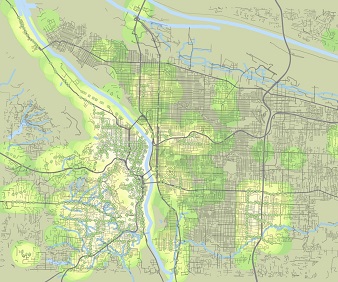
portland bus stops

Portland Bus Stops

Open street map data showing bus stops in Portland, OR

Half-mile buffers were created for all bus-stop features

pFad - Phonifier reborn

Pfad - The Proxy pFad of © 2024 Garber Painting. All rights reserved.

Note: This service is not intended for secure transactions such as banking, social media, email, or purchasing. Use at your own risk. We assume no liability whatsoever for broken pages.


Alternative Proxies:

Alternative Proxy

pFad Proxy

pFad v3 Proxy

pFad v4 Proxy