Enhance your STEM degree with a remote sensing certificate


Remote sensing is the science of using data collected by satellites, aircraft and drones to learn about the Earth. Pretty amazing, right? UW’s remote sensing certificate gives students hands-on experience operating drones and using state-of-the-art image processing techniques.

About the Remote Sensing Undergraduate Certificate
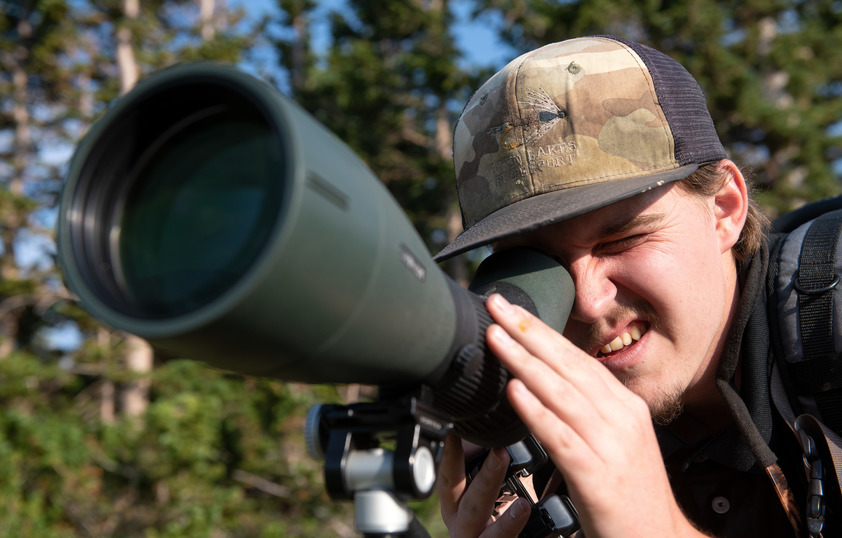
A student looking through a large camera lens in the field

The remote sensing certificate program gives students the opportunity to learn how to use and interpret imagery acquired from aircraft, satellites or ground-based platforms. In this program, students take 9 credit hours of courses. This includes one required course and your choice of electives.


Aerial view of a field
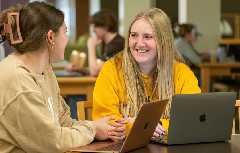
Two students work on their laptops in the library

This certificate can be added to any major using the change of major form available at the registrar’s office online forms and petitions site.


Why pursue a remote sensing certificate?

The remote sensing certificate is a wonderful way to add marketable skills to any UW degree, particularly in the STEM fields. Students are trained in how to use and interpret imagery acquired from various aircraft and satellites, and graduates are prepared to use their skills in the real world.

Remote Sensing Careers

  • Remote Sensing Project Manager
  • Environmental Scientist
  • Utilities
  • Public Administration
  • Educator 
  • Remote Sensing Analyst
  • Geospatial Analyst
  • Technical Service Provider
  • Environmental Scientist
  • Natural Resource Manager
  • Urban and Regional Planner
  • Agriculture Specialist
  • Cartographer or Mapping Technician
  • Manufacturer
  • Remote Sensing Software Developer
  • GIS Specialist


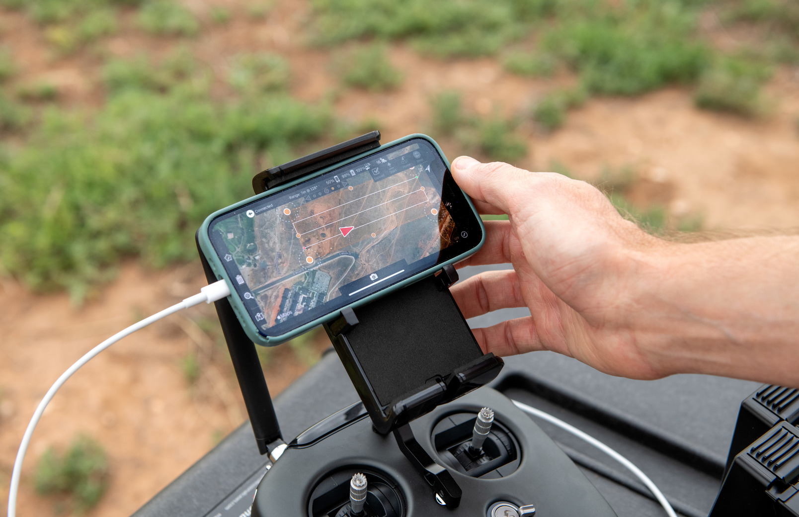
A researcher looks at a map on their phone

Notable College of Engineering Alumni Employers

  • Lockheed Martin
  • Intel
  • General Motors
  • Los Alamos National Laboratory
  • Etsy
  • Amazon Web Services
  • Medtronic
  • Netflix
  • Uber
  • University of Wyoming Foundation
mountain logo

Remote Sensing Certificate Program Highlights

UW’s remote sensing students have access to experiential learning opportunities with highly accomplished faculty and mentors. Learn more below.

Accomplished Faculty

Our undergraduate remote sensing program is led by Dr. Ramesh Sivanpillai. Dr. Sivanpillai is a remote sensing scientist with the Wyoming Geographic Information Science Center (WyGISC) at the University of Wyoming. He teaches remote sensing courses and directs the WyomingView program. For more than 25 years, Dr. Sivanpillai has worked on digital processing of remotely sensed data for applications in forestry, range-land, agriculture, water, disaster assessment and land use studies. He has worked with several national and international agencies and academic institutions in India, the US, Mexico, Nicaragua, Kazakhstan, Uzbekistan, Russia, Kenya and Australia.

Hands-On Learning

Here at UW, we believe hands-on experience is the best way to learn and master skills. That’s why this program teaches students to use specialized remote sensing software. Students additionally have the opportunity to take elective courses in unmanned aerial systems, so they can learn to safely fly drones and collect data.


Contact Us

We're Eager to Help!

School of Computing

Geospatial Information Science & Technology

Department 4008, 1000 E. University Avenue

Laramie, WY 82071

Phone: (307) 766-2532

Email: gist@uwyo.edu

pFad - Phonifier reborn

Pfad - The Proxy pFad of © 2024 Garber Painting. All rights reserved.

Note: This service is not intended for secure transactions such as banking, social media, email, or purchasing. Use at your own risk. We assume no liability whatsoever for broken pages.


Alternative Proxies:

Alternative Proxy

pFad Proxy

pFad v3 Proxy

pFad v4 Proxy