If you are looking for fresh snow by Christmas morning or are curious about potential travel disruptions, the best chances for at least 1" of new snowfall early this week exist across the mountainous West, Great Lakes, and Northeast. Otherwise, temperatures this last full week of December will average above normal for much of the lower 48 states. Read More >
Melbourne, FL
Weather Forecast Office
|
4-km ADAS Grid Analyses - click on image for full size graphic - Loops are GIF animations |
 Surface Dewpoint | loop KML Contour | Image |
 Surface Relative Humidity | loop KML Contour | Image |
||
 Surface Wind / Pressure | loop KML Contour | Image |
 Steering Wind & Mean RH | loop KML Contour | Image |
 1-km Relative Humidity | loop KML Contour | Image |
|
 0-3 km Helicity | loop KML Contour | Image |
 Composite Reflectivity | loop |
 Convective Parameters | loop KML Contour | Image |
|
 0-1000 ft Shear (kt) and Vector | loop KML Contour | Image |
 Surface Moisture Flux Divergence | loop KML Contour | Image |
 950-700 mb Theta-e | loop KML Contour | Image |
|
 Windchill and Surface Winds (kt) | loop KML Contour | Image |
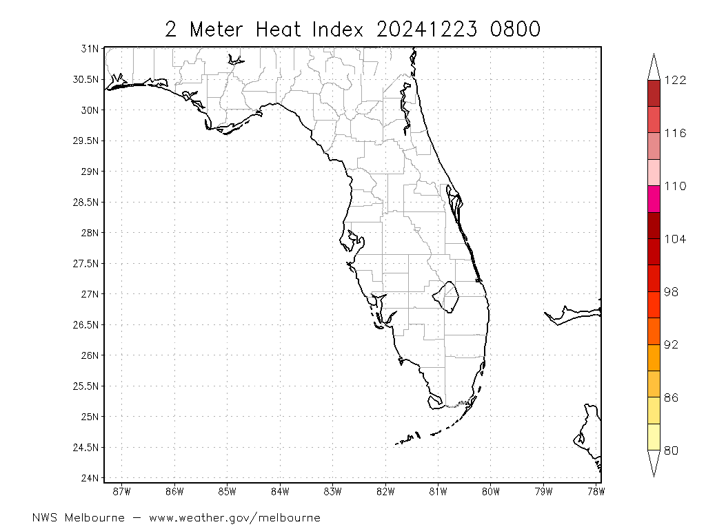
 Heat Index | loop KML Contour | Image |
About the Mesoscale Modeling Project at NWS Melbourne | ADAS Data Status | Graphics Glossary
CURRENT HAZARDS
Cold Weather Support
Florida Hazards (CAP Text)
Hazardous Weather Outlook (Graphical)
Hazardous Weather Outlook (Text)
Outlooks
Storm Reports (Graphical)
Storm Reports (Text)
FORECASTS
Area Forecast Discussion
Aviation Weather
Fire Weather
Graphical
Marine Weather
Overview Graphics
Probabilistic
Text Products
Tropical Weather
CURRENT WEATHER
Local Analysis
Observations
Precip Analysis
Satellite Images
Rivers/Lakes
RADAR IMAGERY
Melbourne Standard
Melbourne Enhanced
Regional - Southeast
Area Radars
US Dept of Commerce
National Oceanic and Atmospheric Administration
National Weather Service
Melbourne, FL
421 Croton Road
Melbourne, FL 32935
321-255-0212
Comments? Questions? Please Contact Us.


