Winter Weather Forecasts
Snowfall Probability Forecasts
 Day 1
Day 1
|
 Day 1
Day 1
|
 Day 1
Day 1
|
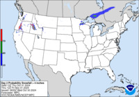 Day 2
Day 2
|
 Day 2
Day 2
|
 Day 2
Day 2
|
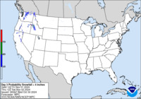 Day 3
Day 3
|
 Day 3
Day 3
|
 Day 3
Day 3
|
Specific (deterministic) snow accumulations
for a particular location in the United States can be obtained from the
National
Weather Service home page. Note, at this site you will have to click the GRAPHICAL FORECAST tab prior to clicking a location on the map.
NCEP monitoring of ongoing or imminent (up to six hours in the future) Hazardous Winter Weather can be found at SPC Mesoscale Discussion Link
Freezing Rain Probability Forecasts
 Day 1
Day 1
|
 Day 2
Day 2
|
 Day 3
Day 3
|
Composite Charts
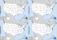 Day 1
Day 1
|
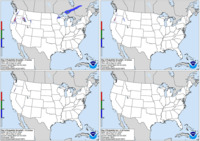 Day 2
Day 2
|
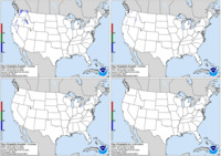 Day 3
Day 3
|
Day 1-3 Surface Low Tracks
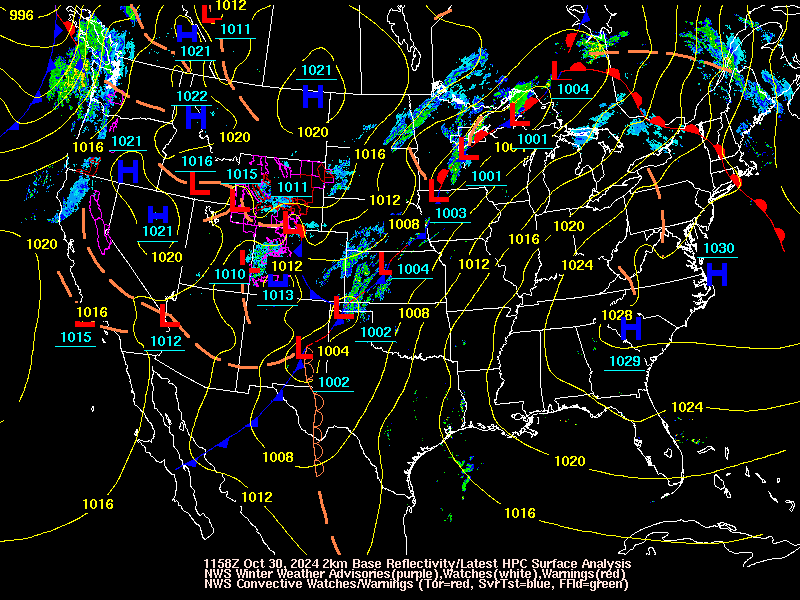 Current Surface Low Positions
|
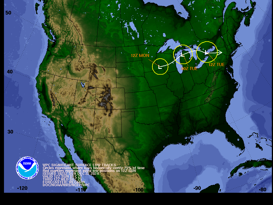 Forecast Surface Low Positions
(with uncertainty circles)
|
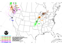 Forecast Surface Low Positions
 (with ensemble clusters)
|
Winter Weather Product Information
- NWS's Winter Weather Safety and Awareness home page
- Wind Chill Chart
- Recent Snowfall and SnowDepth Maps from the National Climatic Data Center
- Winter Weather Terms
Pfad - The Proxy pFad of © 2024 Garber Painting. All rights reserved.
Note: This service is not intended for secure transactions such as banking, social media, email, or purchasing. Use at your own risk. We assume no liability whatsoever for broken pages.
Alternative Proxies: