Winter Weather Forecasts
 
About WPC's Winter Weather Product Suite
 
Winter Weather Product Archive
 

Probability Maps:       Snow        Freezing Rain        Composite
Other Products:         Surface Low Tracks        Forecast Discussion
   Winter Weather Impact Graphics   Winter Weather Verification
 
 
View the official NWS 6-hour snow accumulation forecasts
 
 
WPC Forecasts in GIS Format:
 
Shapefiles   --
Download (ftp site)      Information
 
KML   --
Download

Snowfall Probability Forecasts
 
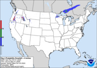
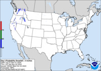
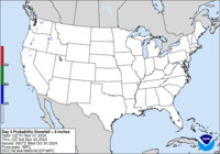
The following charts depict the probability of snowfall reaching or exceeding the specified amount.
 
Preliminary Forecasts
 
 
All viewing options are available through the links below.
 
≥ 1 inch
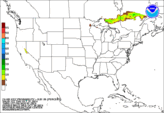
Day 1 probability of snow accumulating greater than or equal to 1 inch.
Day 1
≥ 1 inch
Day 2 probability of snow accumulating greater than or equal to 1 inch.
Day 2
≥ 1 inch
Day 3 probability of snow accumulating greater than or equal to 1 inch.
Day 3
Specific accumulation
thresholds for Days 1-3:
All accumulation
thresholds for:
≥ 1 inch ≥ 8 inches Day 1
≥ 2 inches ≥ 12 inches Day 2
≥ 4 inches ≥ 18 inches Day 3
≥ 6 inches  
 
Final Forecasts
 
 
Day 1 Day 2 Day 3
≥ 4 inches
Day 1 probability of snowfall greater than or equal to 4 inches
≥ 4 inches
Day 2 probability of snowfall greater than or equal to 4 inches
≥ 4 inches
Day 3 probability of snowfall greater than or equal to 12 inches
≥ 8 inches
Day 1 probability of snowfall greater than or equal to 8 inches
≥ 8 inches
Day 2 probability of snowfall greater than or equal to 8 inches
≥ 8 inches
Day 3 probability of snowfall greater than or equal to 8 inches
≥ 12 inches
Day 1 probability of snowfall greater than or equal to 12 inches
≥ 12 inches
Day 2 probability of snowfall greater than or equal to 12 inches
≥ 12 inches
Day 3 probability of snowfall greater than or equal to 12 inches
 
24-, 48-, and 72-Hour Snowfall Percentile Accumulation Forecasts for Days 1-3
 
Specific (deterministic) snow accumulations for locations in the United States can be obtained from the National Weather Service's National Digital Forecast Database.

NCEP monitoring of ongoing or imminent (up to six hours in the future) Hazardous Winter Weather can be found at SPC Mesoscale Discussion Link
.
 

Freezing Rain Probability Forecasts
 
The following charts depict the probability of freezing rain reaching or exceeding the specified amount.
 
Preliminary Forecasts
 
 
All viewing options are available through the links below.
 
≥ 0.01 inch
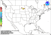
Day 1 probability of freezing rain accumulating greater than or equal to 0.01 inch.
Day 1
≥ 0.01 inch
Day 2 probability of freezing rain accumulating greater than or equal to 0.01 inch.
Day 2
≥ 0.01 inch
Day 1 probability of freezing rain accumulating greater than or equal to 0.01 inch.
Day 3
Specific accumulation
thresholds for Days 1-3:
All accumulation
thresholds for:
≥ 0.01 inch Day 1
≥ 0.10 inch Day 2
≥ 0.25 inch Day 3
≥ 0.50 inch  
 
Final Forecasts
 
 
The charts below depict the probability of freezing rain reaching or exceeding 0.25 inch for Days 1-3.
≥ 0.25 inch
Day 1 probability of freezing rain greater than or equal to .25 inch.
Day 1
≥ 0.25 inch
Day 2 probability of freezing rain greater than or equal to .25 inch.
Day 2
≥ 0.25 inch
Day 3 probability of freezing rain greater than or equal to .25 inch.
Day 3
 
24-, 48-, and 72-Hour Freezing Rain Percentile Accumulation Forecasts for Days 1-3
 
Automated 3-Hour Probability of Freezing Rain Forecasts for Days 1-3
 

Composite Charts
 
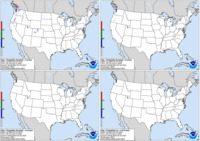
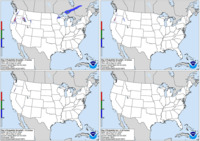
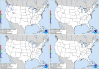
The following charts depict in a 4-panel format the final forecast of the probabilities of snow reaching or exceeding 4, 8, and 12 inches and the probability of freezing rain reaching or exceeding 0.25 inch.

Day 1 probability of snow greater than or equal to 4, 8, and 12 inches and freezing rain greater than or equal to .25 inch
Day 1
Day 2 probability of snow greater than or equal to 4, 8, and 12 inches and freezing rain greater than or equal to .25 inch
Day 2
Day 3 probability of snow greater than or equal to 4, 8, and 12 inches and freezing rain greater than or equal to .25 inch
Day 3
 

Day 1-3 Surface Low Tracks
 
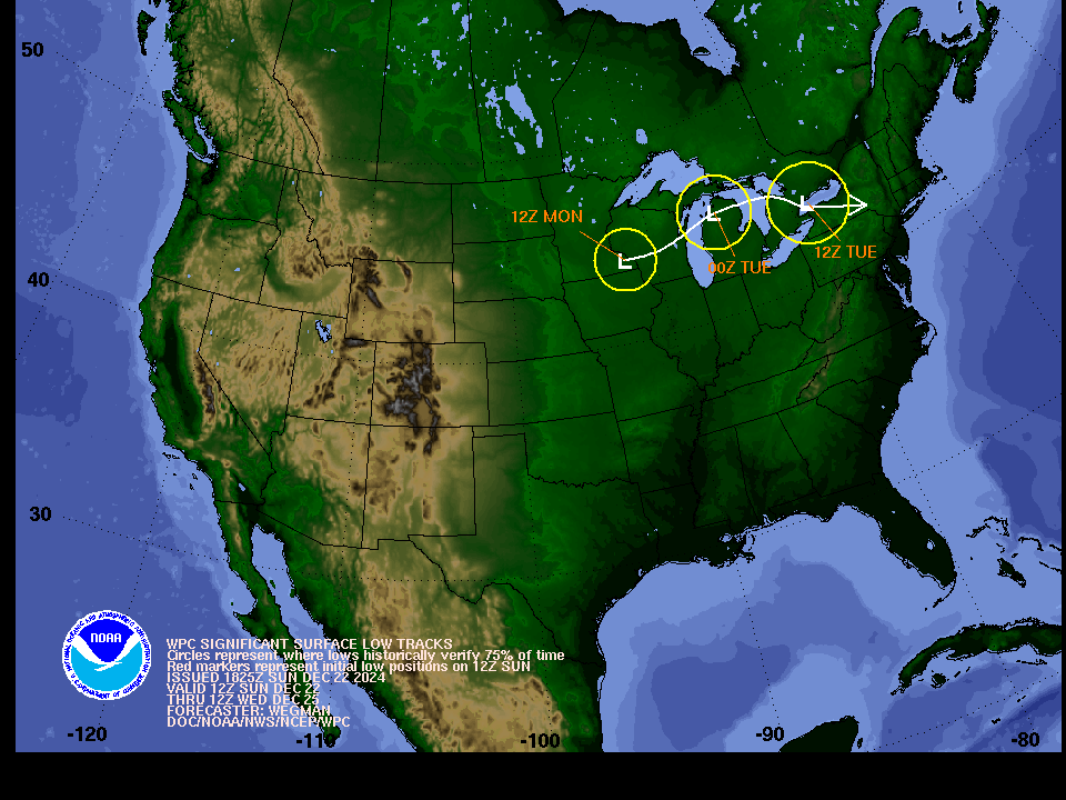
The low track charts depict WPC's Day 1-3 forecast of surface low tracks associated with significant winter weather.
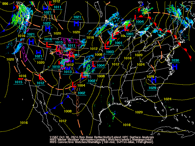
Latest WPC surface analysis, NWS Winter Weather Watches/Warnings/Advisories, and radar loop
Current Surface Low Positions
Day 1-3 forecast of surface low tracks (with uncertainty circles) associated with significant winter weather
Forecast Surface Low Positions
(with uncertainty circles)
Day 1-3 forecast of surface low tracks (with ensemble clusters) associated with significant winter weather
Forecast Surface Low Positions
(with ensemble clusters)


Heavy Snow/Icing Discussion
 

Winter Weather Links

pFad - Phonifier reborn

Pfad - The Proxy pFad of © 2024 Garber Painting. All rights reserved.

Note: This service is not intended for secure transactions such as banking, social media, email, or purchasing. Use at your own risk. We assume no liability whatsoever for broken pages.


Alternative Proxies:
Alternative Proxy

pFad Proxy

pFad v3 Proxy

pFad v4 Proxy