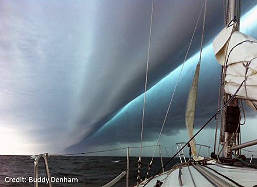
Air pressure disturbances often associated with fast-moving weather systems, like squall lines, can also generate tsunamis. These "meteotsunamis" are similar to tsunamis generated by earthquakes, but their development depends on the intensity, direction, and speed of the air pressure disturbance as it travels over a body of water body that is deep enough to enhances wave magnification.
Most meteotsunamis are too small to notice, but large meteotsunamis can bring dangerous waves, flooding, and strong currents that can cause damage, injuries, and deaths (but not as extreme as the impacts caused by the recent earthquake-generated tsunamis in Japan and the Indian Ocean).
Meteotsunamis are regional, meaning they do not affect entire ocean basins. Certain parts of the world are prone to meteotsunamis due to a combination of factors, including local weather patterns, the depth and shape of the ocean floor near the coast (bathymetry), and coastal elevation and features (topography).

Examples of meteotsunamis include:

- June 13, 2013, Northeastern United States - Tsunami-like waves crashed upon the New Jersey and southern Massachusetts coasts despite clear skies and calm weather. In Barnegat Inlet, New Jersey, three people were injured when a six-foot (1.8-meter) wave swept them off a jetty and into the water. Scientists determined that the waves had been generated by a derecho (a high-speed windstorm associated with a strong band of thunderstorms) that had passed through the area hours earlier.
- June 21, 1978, Vela Luka, Croatia - Without warning and during relatively nice weather, flooding waves inundated the port town of Vela Luka. Scientists identified the likely source as an air pressure disturbance the morning of the flooding. The strongest meteotsunami on record, this event featured 19.5-foot (6 meter) waves, lasted several hours, and caused millions of dollars in damage.
To learn more about meteostsunamis, read What Is a Meteotsunami?.
