Škrda
Appearance
 Škrda from Pag | |
 | |
| Geography | |
|---|---|
| Location | Adriatic Sea |
| Coordinates | 44°28′44″N 14°51′37″E / 44.478855°N 14.860146°E |
| Area | 2.05 km2 (0.79 sq mi) |
| Coastline | 7.177 km (4.4596 mi) |
| Administration | |
| Demographics | |
| Population | 0 (2017) |
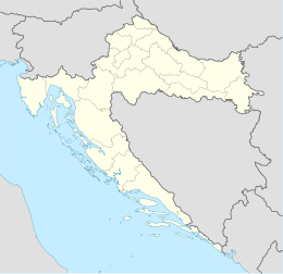
Škrda, or Otok Škrda, is an uninhabited Croatian island in the Adriatic Sea with an area of 2.05 km2, and 7.177 km of coastline, located southwest of Pag.[1] British escort destroyer HMS Aldenham was sunk by a naval mine near the island in December 1944.
References
[edit]- ^ Duplančić Leder, Tea; Ujević, Tin; Čala, Mendi (June 2004). "Coastline lengths and areas of islands in the Croatian part of the Adriatic Sea determined from the topographic maps at the scale of 1 : 25 000" (PDF). Geoadria. 9 (1). Zadar: 5–32. doi:10.15291/geoadria.127. Retrieved 2019-12-26.
