Aghacramphill
Appearance
Aghacramphill | |
|---|---|
| Irish transcription(s) | |
| • Derivation: | Achadh Creamh Choille |
| • Meaning: | field of the wild garlic |
| Coordinates: 54°21′06″N 7°17′27″W / 54.351670°N 7.290740°W | |
| Sovereign state | United Kingdom |
| Country | Northern Ireland |
| County | Fermanagh |
| Barony | Magherastephana |
| Civil parish | Aghalurcher |
| First recorded | 1630[1] |
| Area | |
| • Total | 131.33 acres (53.15 ha) |
| Irish grid ref | H4616144994 |
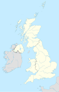
Aghacramphill (Irish: Achadh Creamh Choille, meaning 'field of the wild garlic') is a townland in County Fermanagh, Northern Ireland. It is in the historic barony of Magherastephana and the civil parish of Aghalurcher and covers an area of 130 acres.[3]
References
[edit]- ^ Commons of Great Britain (an Ireland) (1829). "IX, Appendix". Inquisitionum in Officio Rotulorum Cancellariae Hiberniae Asservatarum Repertorium. United Kingdom: command of his majesty King George IV. Retrieved 24 April 2015.
- ^ "Aghacramphill, County Fermanagh". Placenamesni.org. Queen's University Belfast. Retrieved 24 April 2015.
- ^ "Townlands of County Fermanagh". IreAtlas Townland Database. Retrieved 10 April 2015.

