Bozkır
Appearance
Bozkır | |
|---|---|
District and municipality | |
 | |
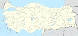
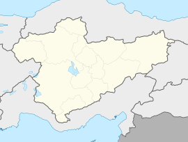
Map showing Bozkır District in Konya Province | |
| Coordinates: 37°11′19″N 32°14′44″E / 37.18861°N 32.24556°E | |
| Country | Turkey |
| Province | Konya |
| Government | |
| • Mayor | Nazif Karabulut (BBP) |
| Area | 1,105 km2 (427 sq mi) |
| Elevation | 1,119 m (3,671 ft) |
| Population (2022)[1] | 25,307 |
| • Density | 23/km2 (59/sq mi) |
| Time zone | UTC+3 (TRT) |
| Postal code | 42630 |
| Area code | 0332 |
| Climate | Csa |
| Website | www |
Bozkır is a municipality and district of Konya Province, Turkey.[2] Its area is 1,105 km2,[3] and its population is 25,307 (2022).[1] Its elevation is 1,119 m (3,671 ft).[4]
The town occupied a central position in ancient Isauria. The name Bozkır means steppe in Turkish and after the Turkish settlement in early Anatolian Seljuk Sultanate period, Bozkır was initially the name given to the region extending between the present-day Bozkır town marked by Çarşamba Stream and the lands around neighboring Seydişehir. The name Bozkır was eventually adopted for the town.
Composition
[edit]There are 52 neighbourhoods in Bozkır District:[5]
- Akçapınar
- Armutlu
- Arslantaş
- Aydınkışla
- Ayvalıca
- Bağyurdu
- Baybağan
- Bozdam
- Çağlayan
- Cumhuriyet
- Demirasaf
- Dereiçi
- Dereköy
- Elmaağaç
- Hacılar
- Hacıyunuslar
- Hamzalar
- Harmanpınar
- Hisarlık
- Işıklar
- Karabayır
- Karacaardıç
- Karacahisar
- Karayahya
- Kayacılar
- Kayapınar
- Kildere
- Kınık
- Kızılçakır
- Kovanlık
- Kozağaç
- Küçükhisarlık
- Kuşça
- Kuzören
- Pınarcık
- Sarıoğlan
- Sazlı
- Soğucak
- Söğüt
- Sorkun
- Tarlabaşı
- Taşbaşı
- Tepearası
- Tepelice
- Üçpınar
- Ulupınar
- Yalnızca
- Yazdamı
- Yelbeyi
- Yeniköy
- Yolören
- Yukarı
References
[edit]- ^ a b "Address-based population registration system (ADNKS) results dated 31 December 2022, Favorite Reports" (XLS). TÜİK. Retrieved 19 September 2023.
- ^ Büyükşehir İlçe Belediyesi, Turkey Civil Administration Departments Inventory. Retrieved 19 September 2023.
- ^ "İl ve İlçe Yüz ölçümleri". General Directorate of Mapping. Retrieved 19 September 2023.
- ^ Falling Rain Genomics, Inc. "Geographical information on Bozkır, Turkey". Retrieved 25 September 2023.
- ^ Mahalle, Turkey Civil Administration Departments Inventory. Retrieved 19 September 2023.


