Calvos de Randín
Appearance
Calvos de Randín | |
|---|---|
Municipality | |
 | |
Location in Galicia | |
| Coordinates: 41°54′17″N 7°52′32″W / 41.90472°N 7.87556°W | |
| Country | |
| Autonomous community | |
| Province | Ourense |
| Comarca | A Limia |
| Government | |
| • Mayor | Aquilino Valencia Salgado (PSdeG) |
| Area | |
| • Total | 97.7 km2 (37.7 sq mi) |
| Elevation | 893 m (2,930 ft) |
| Population (2018)[2] | |
| • Total | 779 |
| • Density | 8.0/km2 (21/sq mi) |
| Time zone | UTC+1 (CET) |
| • Summer (DST) | UTC+2 (CEST) |
| INE municipality code | 32016 |
| Website | www |
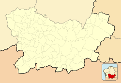
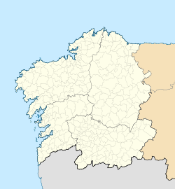
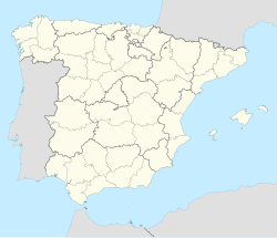
Calvos de Randín is a municipality in the province of Ourense, in the autonomous community of Galicia in northwestern Spain. It is located in one of the southernmost points of Galicia, bordering Portugal to the south.
It consists of the parishes of Calvos (Santiago); Castelaus (San Martiño), Feás (San Miguel), Golpellás (San Xoán), Lobás (San Vicente), Randín (San Xoán), Rioseco (Santa Mariña) Rubiás dos Mixtos and Vila (Santa María).
References
[edit]- ^ "IGE. Táboas". www.ige.eu (in Galician). Retrieved 2017-10-07.
- ^ Municipal Register of Spain 2018. National Statistics Institute.


