Gasparilla Island State Park
| Gasparilla Island State Park | |
|---|---|
IUCN category IV (habitat/species management area) | |
 Beach at the park | |
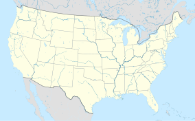
| Location | Charlotte and Lee counties, Florida, USA |
| Nearest city | Boca Grande, Florida |
| Coordinates | 26°43′19″N 82°15′40″W / 26.72194°N 82.26111°W |
| Established | 1983 |
| Governing body | Florida Department of Environmental Protection |
Gasparilla Island State Park is a Florida State Park located south of Boca Grande on Gasparilla Island off Charlotte Harbor and Pine Island Sound. Activities include swimming and fishing along with shelling, picnicking, and viewing the Historic Port Boca Grande Lighthouse.
Among the wildlife of the park are West Indian manatee, gopher tortoise, bald eagle, osprey, least tern, royal tern, Sandwich tern, and black skimmer.
Amenities include four parking lots, two picnic areas with covered tables, beaches, and Historic Port Boca Grande Lighthouse on the southern end of the island. The Port Boca Grande Lighthouse contains a museum and gift shop, and is run by the Barrier Island Park Society, a nonprofit that supports the Gasparilla Island State Park.
Gallery
[edit]-
Boardwalk over dunes
-
Birds resting on pier
-
Another view of the beach
-
Coastal vegetation
-
Picnic pavilion
-
Boardwalk over mangroves
-
Pinelands
-
South point
References and external links
[edit]![]() Media related to Gasparilla Island State Park at Wikimedia Commons
Media related to Gasparilla Island State Park at Wikimedia Commons


