Gould, Texas
Gould, Texas | |
|---|---|
| Coordinates: 32°03′21″N 95°09′03″W / 32.05583°N 95.15083°W | |
| Country | United States |
| State | Texas |
| County | Cherokee |
| Elevation | 351 ft (107 m) |
| Time zone | UTC-6 (Central (CST)) |
| • Summer (DST) | UTC-5 (CDT) |
| Area code(s) | 430 & 903 |
| GNIS feature ID | 1378372[1] |
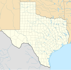
Gould is an unincorporated community in Cherokee County, located in the U.S. state of Texas.[1] According to the Handbook of Texas, the community had a population of 20 in 2000. It is located within the Tyler-Jacksonville combined statistical area.
History
[edit]The area in what is known as Gould today was first settled in the 1870s and was a station on the International-Great Northern Railroad. A post office was established at Gould in 1905 and remained in operation until 1918. It had 80 residents that were served by a sawmill and a general store in 1914, which remained open until the 1930s and closed after World War II. Its population was 20 in 2000.[2]
Geography
[edit]Gould is located at the intersection of Farm to Market Roads 2064 and 2750, 18 mi (29 km) north of Rusk in northern Cherokee County.[2]
Education
[edit]Gould is served by the Troup Independent School District.
Notes
[edit]- ^ a b "Gould, Texas". Geographic Names Information System. United States Geological Survey, United States Department of the Interior.
- ^ a b Long, Christopher (January 1, 1995). "Gould, TX". tshaonline.org.


