Kfar Baal
Appearance
Kfar Baal
كفر بعال Annaya | |
|---|---|
| Coordinates: 34°6′38″N 35°44′26″E / 34.11056°N 35.74056°E | |
| Country | Lebanon |
| Governorate | Keserwan-Jbeil |
| District | Byblos |
| Area | |
| • Total | 303 ha (749 acres) |
| Elevation | 920 m (3,020 ft) |
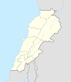
Kfar Baal (Arabic: كفر بعال), also known as Annaya (Arabic: عنَايا) is a municipality in the Byblos District of Keserwan-Jbeil Governorate, Lebanon. It is 55 kilometers north of Beirut. Kfar Baal has an average elevation of 920 meters above sea level and a total land area of 303 hectares. There were six companies with more than five employees operating in the village as of 2008.[1] Its inhabitants are predominantly Maronite Catholics.[2]
References
[edit]- ^ "Kfar Baal (Aannaya)". Localiban. Localiban. 2008-01-17. Retrieved 2016-02-12.
- ^ "Elections municipales et ikhtiariah au Mont-Liban" (PDF). Localiban. Localiban. 2010. p. 19. Archived from the original (pdf) on 2015-07-24. Retrieved 2016-02-12.

