Kotten
Appearance
Kotten | |
|---|---|
Hamlet | |
Geessinkweg in Kotten | |
| Coordinates: 51°57′N 6°46′E / 51.950°N 6.767°E | |
| Country | Netherlands |
| Province | Gelderland |
| Municipality | Winterswijk |
| Area | |
• Total | 11.33 km2 (4.37 sq mi) |
| Elevation | 42 m (138 ft) |
| Population (2021)[1] | |
• Total | 650 |
| • Density | 57/km2 (150/sq mi) |
| Time zone | UTC+1 (CET) |
| • Summer (DST) | UTC+2 (CEST) |
| Postal code | 7107[1] |
| Dialing code | 0543 |
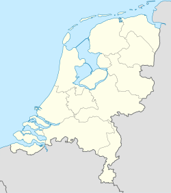
Kotten is a hamlet in the municipality of Winterswijk, in the Netherlands.
It was first mentioned in 1302 as Katen or Koten, and means "little farms/houses".[3]
Kotten was home to 677 people in 1840. Kotten always had good relations with neighbouring Oeding in Germany and both villages used to known for their smuggling activities.[4]
Notable people
[edit]- Leonie Hesselink (born 1992), model and television presenter. Miss World Nederland in 1998.[5]
Gallery
[edit]-
Farm in Kotten
-
Border crossing
-
Flax oven
-
School
References
[edit]- ^ a b c "Kerncijfers wijken en buurten 2021". Central Bureau of Statistics. Retrieved 14 April 2022.
two entries
- ^ "Postcodetool for 7107AA". Actueel Hoogtebestand Nederland (in Dutch). Het Waterschapshuis. Retrieved 14 April 2022.
- ^ "Kotten - (geografische naam)". Etymologiebank (in Dutch). Retrieved 14 April 2022.
- ^ "Kotten". Plaatsengids (in Dutch). Retrieved 14 April 2022.
- ^ "Leonie uit Kotten is de mooiste van het land". Gelderlander (in Dutch). Retrieved 14 April 2022.
Wikimedia Commons has media related to Kotten, Netherlands.


