Lambiya
Appearance
Lambiya | |
|---|---|
rural | |
| Coordinates: 26°24′00″N 73°04′00″E / 26.4°N 73.0667°E | |
| Country | |
| State | Rajasthan |
| District | Pali |
| Founded by | Bhadur Singh Rathore |
| Elevation | 310 m (1,020 ft) |
| Population (2001) | |
• Total | 6,823 |
| Languages | |
| • Official | Hindi |
| Time zone | UTC+5:30 (IST) |
| PIN | 306301 |
| Telephone code | 02939 |
| ISO 3166 code | RJ-IN |
| Vehicle registration | RJ-22 |
| Sex ratio | 966 ♂/♀ |
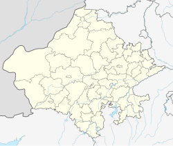
Lambiya is a village in Jaitaran tehsil of Pali district in the Indian state of Rajasthan.
Geography
[edit]Lambiya is located at 26°24′00″N 73°04′00″E / 26.4°N 73.0667°E. It has an average elevation of 310 metres (1020 feet).
Demographics
[edit]As of 2001[update] India census,[1] Lambiya had a population of 6,823. Males constitute 51% 3,471) of the population and females 49% (3,352).
References
[edit]- ^ "Census of India 2001: Data from the 2001 Census, including cities, villages and towns (Provisional)". Census Commission of India. Archived from the original on 16 June 2004. Retrieved 1 November 2008.

