Lerala
Appearance
Location of Lerala
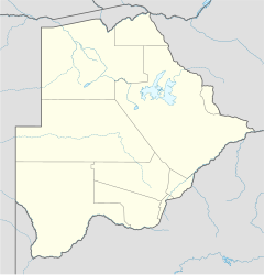
Lerala is a village in Central District of Botswana. The village is located at the south-eastern end of the Tswapong Hills, 30 km (19 mi) from the Limpopo River and the border with South Africa and approximately 90 km (56 mi) east of Palapye. The population of Lerala was 6,871 in the 2011 census, which was a 20.5% increase from the 2001 population.[1][2]
References
[edit]- ^ "Distribution of population by sex by villages and their associated localities: 2001 population and housing census". Archived from the original on 24 November 2007. Retrieved 20 January 2008.
- ^ "POPULATION AND HOUSING CENSUS 2011 DISSEMINATION SEMINAR" (PDF). 12 December 2013. Archived from the original (PDF) on 4 April 2018. Retrieved 4 April 2018.
22°47′05″S 27°45′40″E / 22.78472°S 27.76111°E
