Mirbat
Appearance
This article needs additional citations for verification. (May 2011) |
Mirbat
Mirbāţ | |
|---|---|
Town | |
 One of Mirbat's several dilapidated Yemeni-style mud-brick structures | |
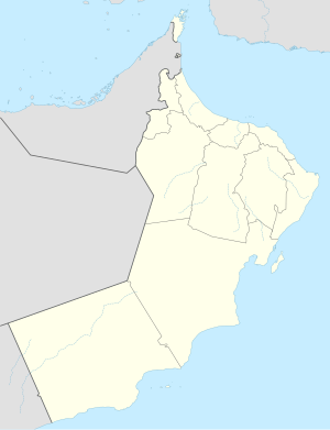
 The wilayat of Mirbat in the Dhofar Governorate | |
| Coordinates: 16°59′19″N 54°41′32″E / 16.98861°N 54.69222°E | |
| Country | |
| Governorate | Dhofar Governorate |
| Population (2020-12-12) | |
• Total | 9,886 |
| (16,364 including the entire wilayat) | |
| Time zone | UTC+4 (GST) |
Mirbat (Arabic: مرباط, romanized: Mirbāţ) is a coastal town in the Dhofar governorate, in southwestern Oman. In 2020, the town had a population of 9,886, while the wilayat as a whole had a population of 16,364.[1] It was the site of the 1972 Battle of Mirbat between Communist guerrillas and the armed forces of the Sultan of Oman and their British Special Air Service advisers.
Mirbat (Moscha) was involved in the export of frankincense in ancient times, to places as far away as China.[2]
Mirbat also houses the mausoleum of Bin Ali.
See also
[edit]Wikivoyage has a travel guide for Mirbat.
References
[edit]- ^ "eCensus Portal". ecensus.gov.om. Retrieved 2024-12-28.
- ^ Ralph Kauz (2010). Ralph Kauz (ed.). Aspects of the Maritime Silk Road: From the Persian Gulf to the East China Sea. East Asian Economic and Socio-cultural Studies – East Asian Maritime History. Vol. 10. Otto Harrassowitz Verlag. p. 130. ISBN 978-3-447-06103-2. Retrieved December 26, 2011 – via Google Books.
