Molle Glacier
Appearance
| Molle Glacier | |
|---|---|
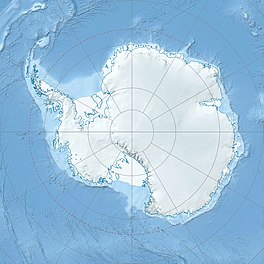
Location of Molle Glacier in Antarctica | |
| Location | Enderby Land |
| Coordinates | 67°31′S 47°10′E / 67.517°S 47.167°E |
| Length | 4 nmi (7 km; 5 mi) |
| Thickness | unknown |
| Terminus | Hannan Ice Shelf |
| Status | unknown |
Molle Glacier (67°31′S 47°10′E / 67.517°S 47.167°E) is a glacier, 4 nautical miles (7 km) wide, flowing north-northeast into the northern part of the Hannan Ice Shelf, Enderby Land, Antarctica. It was charted from air photos taken by Australian National Antarctic Research Expeditions in 1956, and was named by the Antarctic Names Committee of Australia for J.D. Molle, a radio officer at Davis Station in 1960.[1]
See also
[edit]References
[edit] This article incorporates public domain material from "Molle Glacier". Geographic Names Information System. United States Geological Survey.
