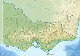
Moondarra State Park
Appearance
| Moondarra State Park Victoria | |
|---|---|
| Nearest town or city | Moe |
| Coordinates | 38°02′45″S 146°18′35″E / 38.045928°S 146.309738°E |
| Established | 1986 |
| Area | 69.92 km2 (27.0 sq mi) |
| Managing authorities | Parks Victoria |
| Website | Moondarra State Park |
| See also | Protected areas of Victoria |
Moondarra State Park is on the northern edge of the Latrobe Valley, east of Melbourne, Australia. Proclaimed in 1986, it protects 6,992 hectares (17,280 acres) of native vegetation including Silvertop, Yertchuk, Messmate and Stringybark eucalyptus, native orchids, and Banksias.[1][2]
Camping and fires are permitted within the camp, in designated areas.
Part of the former route of the narrow gauge Walhalla railway line can be followed through the park, forming the Moondarra Rail Trail.[3]
References
[edit]- ^ "Moondarra State Park", Official website, Parks Victoria, retrieved 29 January 2012
- ^ "Moondarra Park visitor guide" (PDF), Park Notes, Parks Victoria, November 2011, retrieved 29 January 2012
- ^ Moondarra Rail Trail at railtrails.org.au
