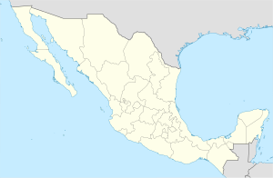
Pajacuarán Municipality
Appearance
Pajacuarán | |
|---|---|
| Coordinates: 20°7′5″N 102°33′54″W / 20.11806°N 102.56500°W | |
| Country | |
| State | Michoacán |
| Municipal seat | Pajacuarán |
| Area | |
| • Total | 174.06 km2 (67.20 sq mi) |
| Population (2010)[1] | |
| • Total | 19,450 |
| • Density | 110/km2 (290/sq mi) |
Pajacuarán is one of the 113 municipalities of Michoacán, in central Mexico. The municipal seat lies at the town of the same name.
Localities
[edit]The main towns and their population are the following:
| Locality | Population |
| Total | 19,450 |
| Pajacuarán | 9,766 |
| La Luz | 3,689 |
| San Gregorio | 2,384 |
References
[edit]- ^ Instituto Nacional de Estadística y Geografía (2010). "Principales resultados por localidad 2010 (ITER)".

