Tótújfalu
Aspeto
Tótújfalu
| |
|---|---|
| Município | |
 | |
| Localização | |
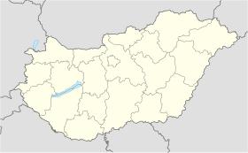
| Localização de Tótújfalu na Hungria | |
| Coordenadas | 45° 54′ 07″ N, 17° 38′ 42″ L |
| País | Hungria |
| Condado | Somogy |
| Características geográficas | |
| Área total | 13,27 km² |
| População total (2019) | 196 hab. |
| Código postal | 7918 |
Tótújfalu é um município da Hungria, situado no condado de Somogy. Tem 13,27 km² de área e sua população em 2019 foi estimada em 196 habitantes.[1]
Referências
- ↑ «Magyarország közigazgatási helynÉvkönyve, 2019. január 1.» (PDF) (em húngaro). Escritório Central de Estatística da Hungria. 1 de janeiro de 2019. Consultado em 21 de julho de 2021


