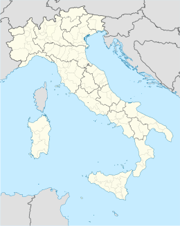
Exilles
Aspetto
| Exilles comune tagliàne | ||
|---|---|---|
| ||
| State | ||
| Reggione | ||
| Provinge | ||
| Coordinate | 45°06′00″N 6°56′00″E | |
| Altitudine | 870 m s.l.m. | |
| Superficie | 44,32 km² | |
| Crestiàne | 277 (31-05-2007 ( ISTAT )) | |
| Denzetà | 6 cr./km² | |
| Fraziune | Champbons Inferiore, Champbons Superiore, Deveys, ai soli fini ISTAT Morliere (chiamata Cels e composta da tre borgate denominate Morliere, Rif e Ruinas), Plantà, San Colombano, Sapé di Exilles, Grange della Valle, Margheria inferiore e superiore | |
| Comune 'nzeccate | Bardonecchia, Bramans (Frange), Chiomonte, Giaglione, Oulx, Pragelato, Salbertrand, Usseaux | |
| CAP | 10050 | |
| Prefisse | 0122 | |
| Codece ISTAT | 001100 | |
| Cod. catastale | D433 | |
| Nome javetande | esillesi o exillesi (Conosciuti in Alta Valle di Susa anche con l'appellativo di esion) | |
| Patrone | San Pietro e Paolo | |
| Site istituzionale | ||
Exilles éte 'nu comune tagliáne de 285 crestiáne.
Categorije:
- Pagine con argomenti di formatnum non numerici
- Stub
- Prefisso telefonico locale uguale a Wikidata
- Codice ISTAT uguale a Wikidata
- P94 assende sus Uicchidate
- P281 uguale sus Uicchidate
- P806 uguale sus Uicchidate
- P856 uguale sus Uicchidate
- P2044 uguale sus Uicchidate
- P2046 differende sus Uicchidate
- Comune d'u Piemonte
- Comune d'a provinge de Torino
- Pàggene cu le mappe
