When will Severe Weather Strike?
Severe weather is classified as a series of events that can cause destructive or deadly effects on the ground. It encompasses hurricanes, tornadoes, thunderstorms, and hail.
NOAA satellites don't just help us monitor severe weather, but also help us analyze weather patterns to predict when and where severe weather will strike.

Two tornadoes touching down near a house.
Severe Weather Common Phenomena
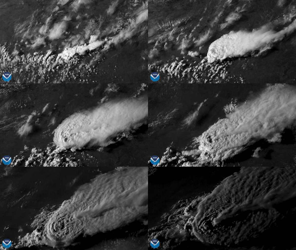
Severe thunderstorms are capable of producing hail that is an inch or larger or wind gusts over 58 mph.
See thunderstorms across the world
Convection is the vertical transport of heat and moisture by updrafts and downdrafts in an unstable atmosphere.
Here's what convection looks like
The term hurricane is used for Northern Hemisphere tropical cyclones with maximum sustained winds of 74 mph, located east of the International Dateline to the Greenwich Meridian.
Visualize swirling hurricanes
Tornadoes are narrow, swiftly rotating columns of air that extend from the base of a thunderstorm to the ground. About 1,200 tornadoes occur in the U.S. annually.
See satellite imagery of tornadoes
Floods are an overflow of water onto land that is normally dry. Floods can happen during heavy rains, when ocean waves come on shore, when snow melts too fast, or when dams or levees break.
See images of floods
Lightning is the buildup and discharge of electrical energy, caused by the attraction between positive and negative charges in the atmosphere.
Gaze at lightning from space
Hail consists of pellets of frozen rain which fall in showers from cumulonimbus clouds.
See severe storms that produced hail
A derecho is a widespread, long-lived wind storm that is associated with a band of rapidly moving showers or thunderstorms directed in one direction along a relatively straight swath.
Look at derechos racing across the U.S.
More Articles on Severe Weather
-
NOAA satellites constantly monitor the ocean for tropical activity. As the 2024 Atlantic hurricane…
-
A powerful storm struck parts of Spain on Tuesday, Oct. 29, 2024, which brought severe flooding.
-
As climate change increases flood risks, accurate forecasting and resilience tools are more…


