30 Oct 2024 - 08:25 UTC
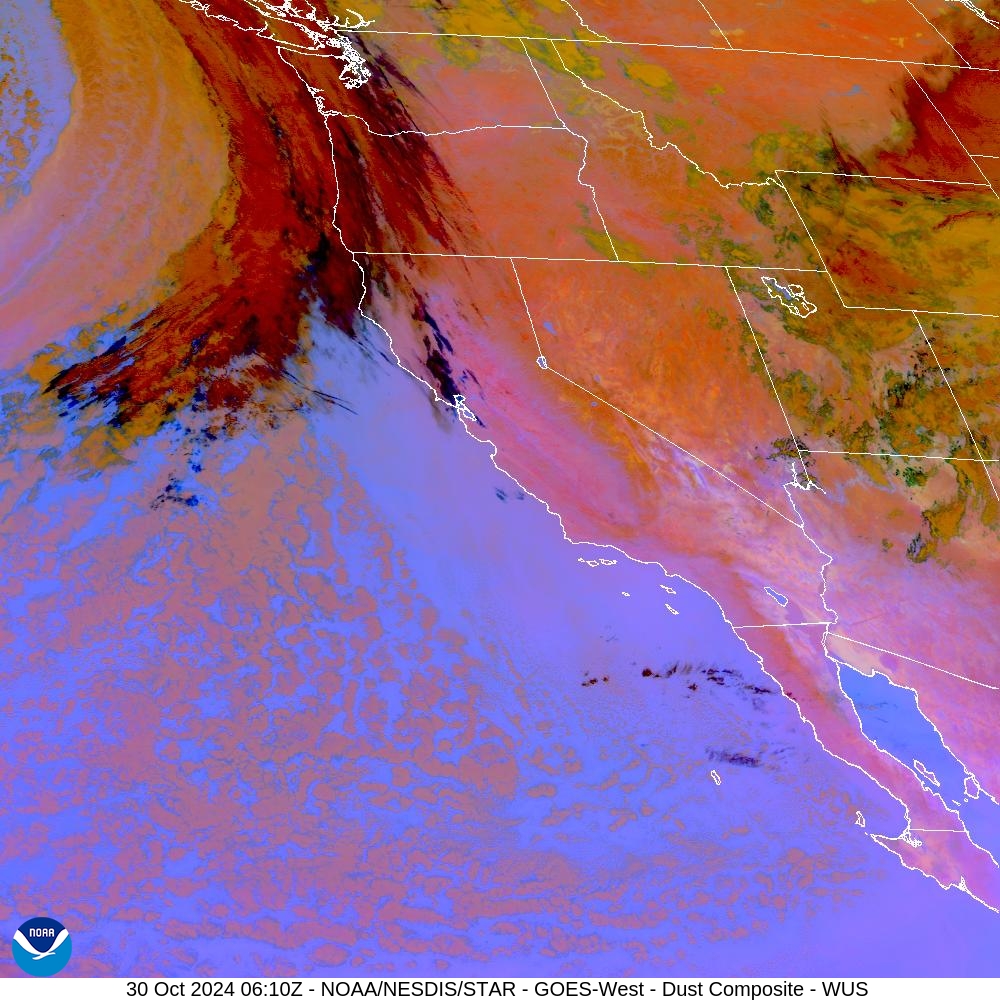
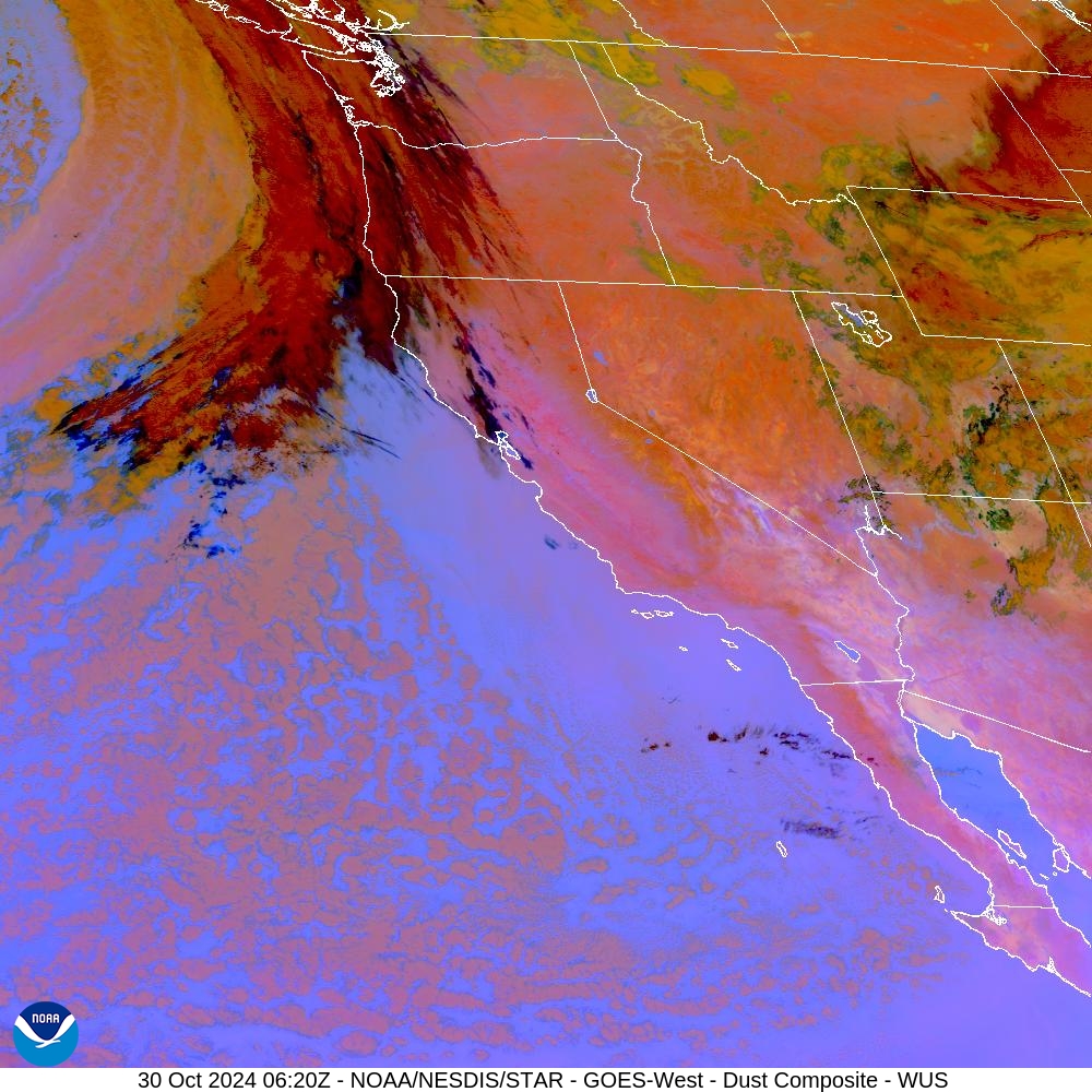
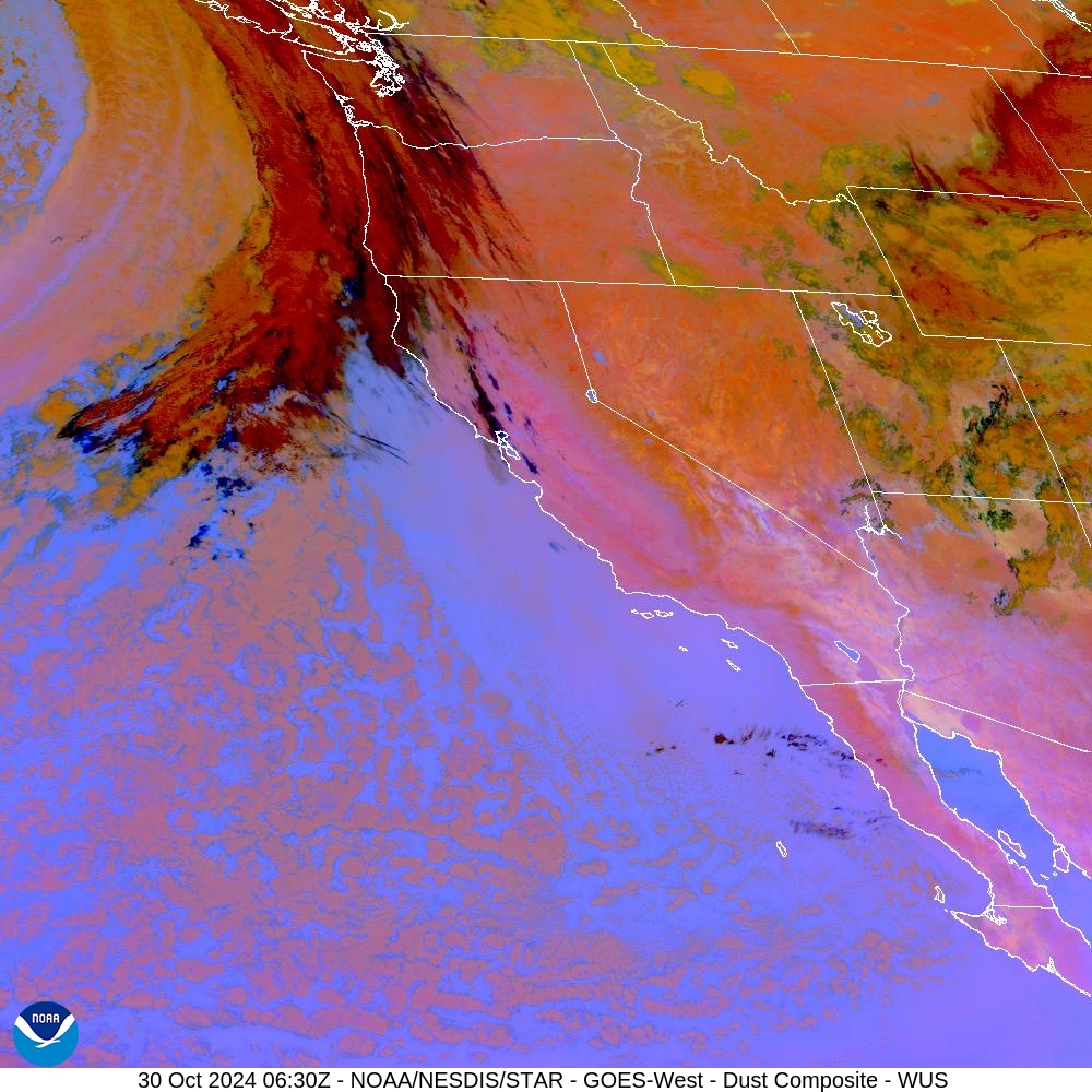
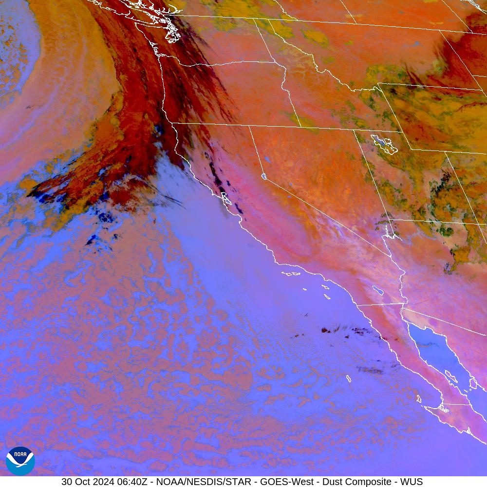
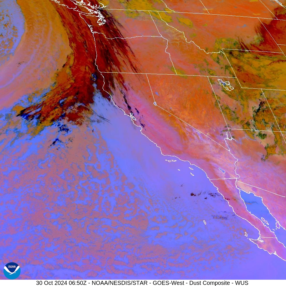
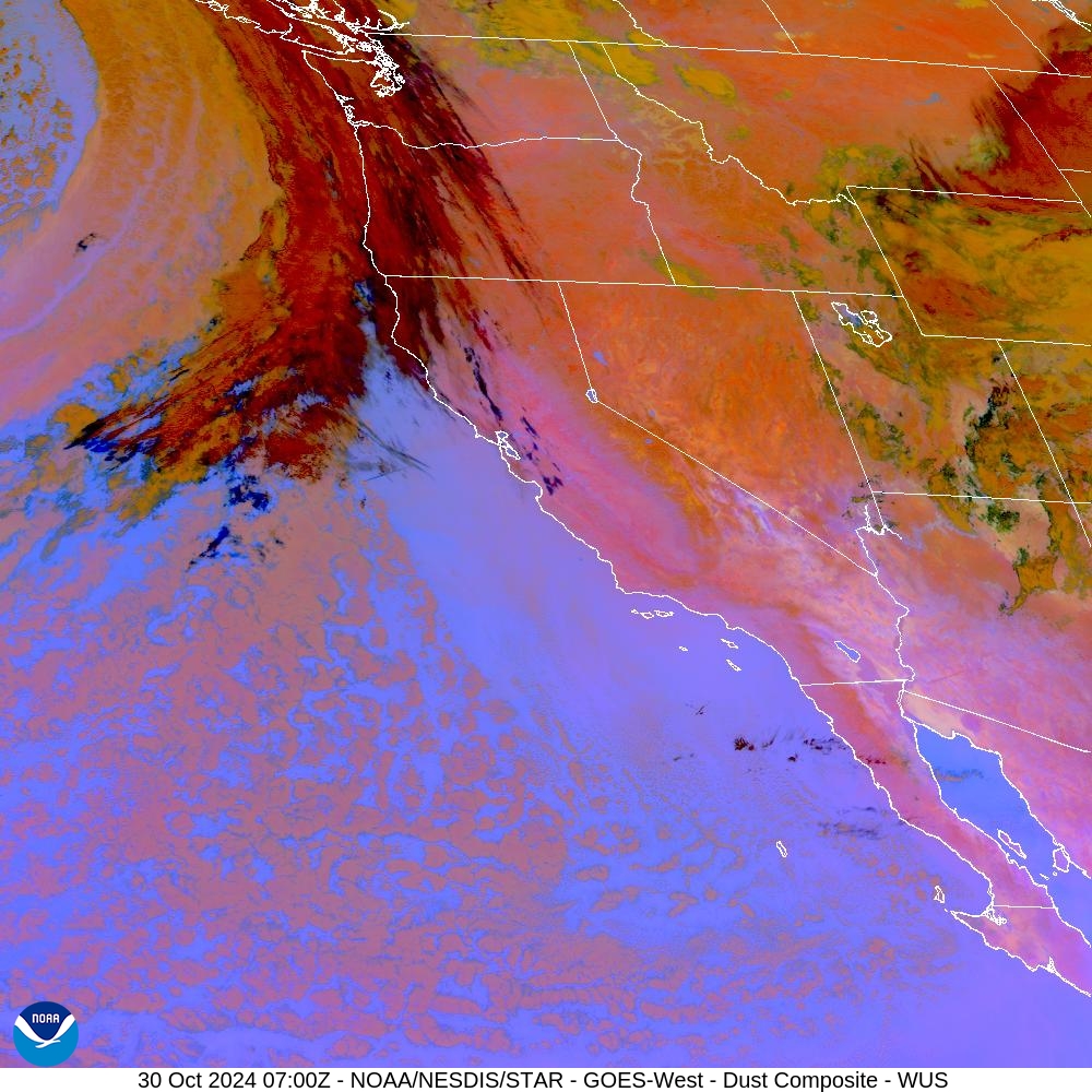
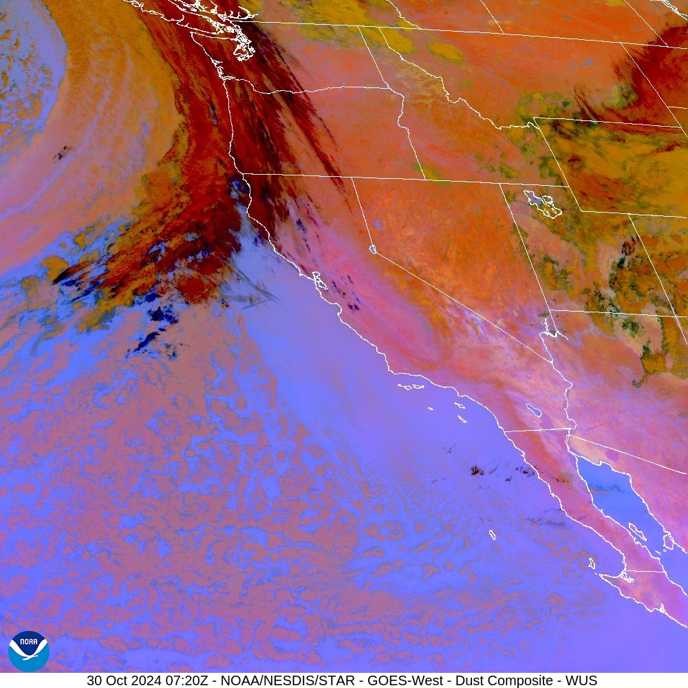
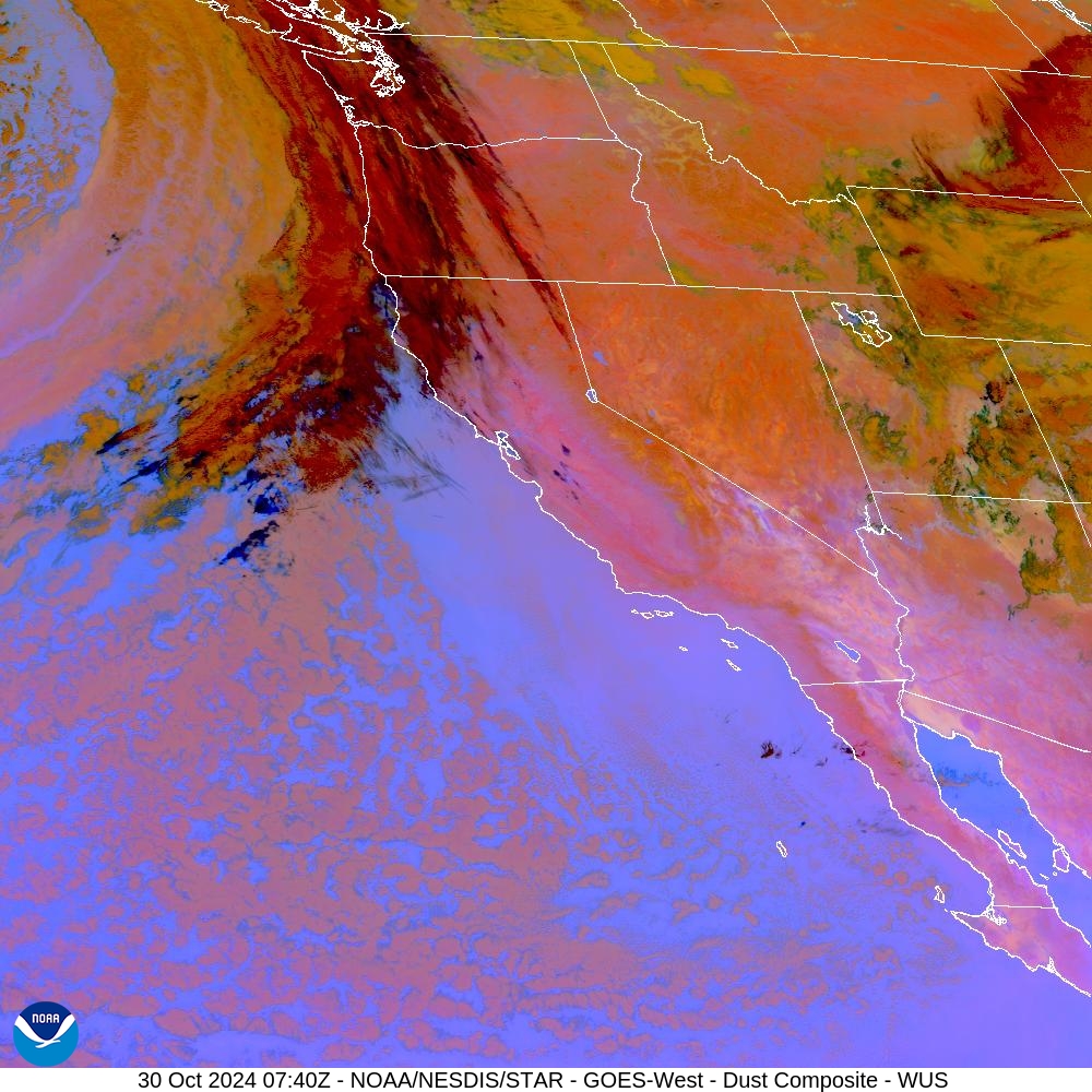
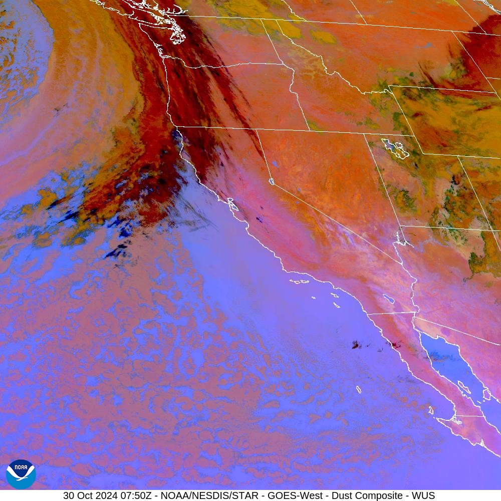
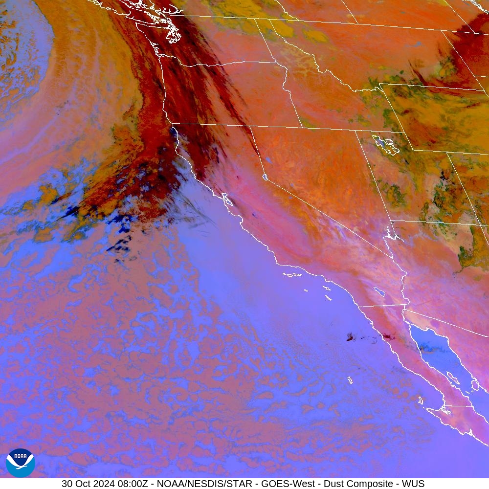
GOES-West - Sector view: U.S. Pacific Coast - Tropospheric Dust Content
2 hour loop - 12 images - 10 minute update
To enlarge, pause animation & click the image. Hover over popups to zoom. Use slider to navigate.

Dust RGB key:
1 - Dust plume, day (bright magenta, pink) Note: Dust at night becomes purple shades below 3 km
2 - Low, water cloud (light purple)
3 - Desert surface, day (light blue)
4 - Mid, thick clouds (tan shades)
5 - Mid, thin cloud (green)
6 - Cold, thick clouds (red)
7 - High, thin ice clouds (black)
8 - Very thin clouds, over warm surface (blue)
Dust RGB Dust can be hard to see in visible and infrared imagery because it is optically thin, or because it appears similar to other cloud types such as cirrus. The RGB product is able to contrast airborne dust from clouds using band differencing and the IR thermal channel. The IR band differencing allows dust storms to be observed during both daytime and at night.
• For more details, see the Dust RGB Quick Guide, (PDF, 978 KB)

