Another round of rain on the way to close out 2024
Colder air will move in for the new year as our active weather pattern continues
After an unsettled final weekend of 2024 with scattered showers and windy conditions (especially Sunday), it was a cloudy and dreary start to the week Monday. Low level moisture stuck around keeping the overcast conditions in place for the morning hours before we enjoyed a mix of clouds and sunshine. We did see enough of a southwest wind ahead of our next storm system out west to push afternoon highs into the mid-50s, which is a solid 10 degrees above average for the end of December. Looking ahead our active and unsettled weather pattern will stay locked in for sure into the new year.
Another wave of low pressure and a frontal boundary will slide through the Ohio Valley on New Year’s Eve bringing additional rain chances to the commonwealth on the final day of 2024. You’ll need the rain gear with scattered showers expected, although overall rainfall totals don’t look overly high with most locations seeing maybe a quarter of an inch with even lighter amounts farther south. It will be a breezy and mild morning with gusting southwest winds at 15 to 20 miles per hour helping to drive highs into the low-50s, but temperatures will begin to back off by late afternoon with readings in the 40s by sunset. Most of the rain should be gone by the time folks head out to celebrate the New Year although some lingering drizzle can’t be ruled out in a few spots.
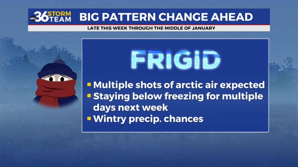
Colder air will slowly arrive into the Ohio Valley to welcome 2025 with temperatures much more like early January for New Year’s day and beyond. It looks dry on Wednesday and Thursday with afternoon highs in the mid to upper 30s. There is a fast moving mid-level wave that should slide through the region Late Thursday night and into Friday and with temperatures cold enough, a few light snow showers should be possible. This system will be in and out in short order so any snow that possibly accumulates wouldn’t be anything more than a light coating at best.
Heading into the first weekend of 2025, conditions look dry and quiet on Saturday but it will be rather chilly as a reinforcing shot of cold air follows behind the late week wave. Even with some sunshine around, afternoon highs will only top out in the low 30s. We are closely watching a more significant storm system that looks to move through the Ohio Valley Sunday and into Monday with the potential of some wintry precipitation with it. Right now it appears a wave of low pressure will move in from the west/southwest bringing precipitation to the area. As always, the exact track of the low will be a significant factor in what type of precipitation we eventually see. Right now we are several days out and the model data continues to bounce around with the track of the low pressure but all forms of precipitation (rain, snow and ice) are on the table late in the weekend as temperatures are expected in the low 30s. This system definitely bears watching so we’ll continue to monitor it closely over the next few days.
ABC 36 HOUR FORECAST
MONDAY NIGHT: Breezy with scattered rain late. Lows in the mid-40s.
NEW YEAR’S EVE: Breezy with occasional rain, cooler late. Highs in the low-50s.
EARLY HOURS of 2025: Colder with patchy drizzle, still breezy. Lows in the mid-30s.
MONDAY NIGHT: Breezy with scattered rain late. Lows in the mid-40s.
NEW YEAR’S EVE: Breezy with occasional rain, cooler late. Highs in the low-50s.
EARLY HOURS of 2025: Colder with patchy drizzle, still breezy. Lows in the mid-30s.


