Unseasonably cold air hangs on to close out the week
A nice break from this frigid winter weather pattern is on the horizon
It was a quiet and cold start to Thursday across Central and Eastern Kentucky and it actually felt much more bearable out the door this morning as temperatures rose slightly into the low 20s during the overnight hours. This was a far cry from the sub zero readings of Wednesday morning and given the chronic Arctic air we’ve dealt with several times this month, that was definitely a small victory. With a weak frontal boundary dropping in from the northwest, winds shifted around to the southwest pushing somewhat milder air into the region. This allowed afternoon highs to climb back into the low to mid-30s as clouds thickened up through the day ahead of the approaching front.
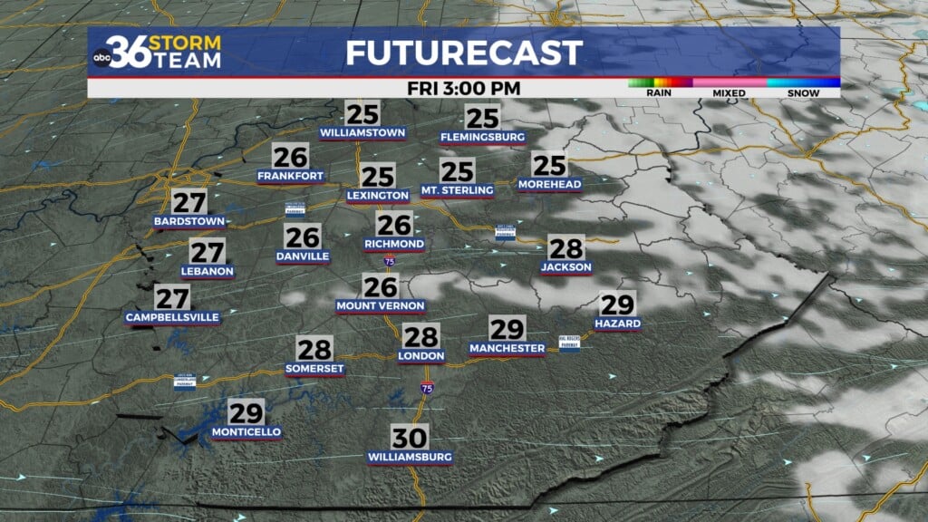
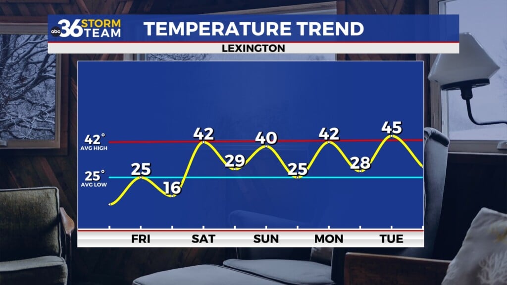
A few scattered snow showers/flurries should be possible into Thursday night as the aforementioned boundary moves through the commonwealth, even though it won’t have a ton of moisture to work with. We could squeeze out enough to coat the ground in a few spots so keep that in mind for Friday morning. This front will bring a reinforcing shot of colder air to the region so after starting in the mid-teens, afternoon highs will struggle to get back into the mid-20s even with some sunshine returning through the day so we’ll stay in the colder pattern for one more day.
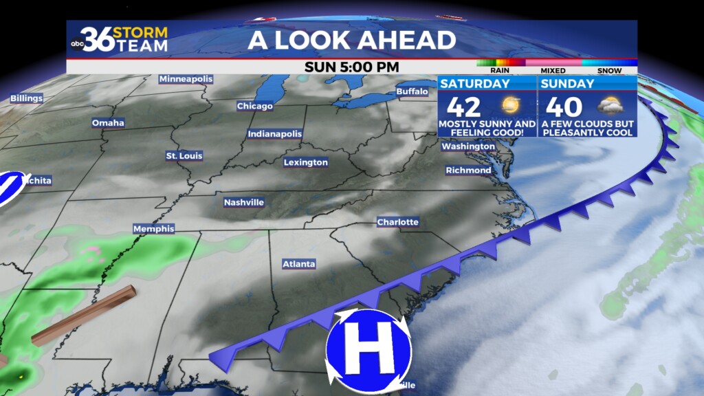
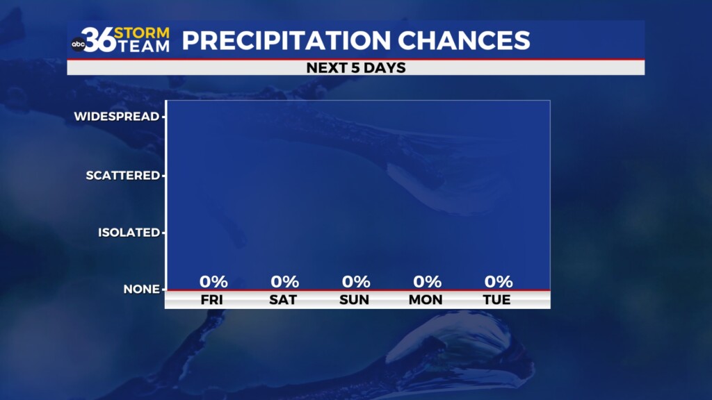
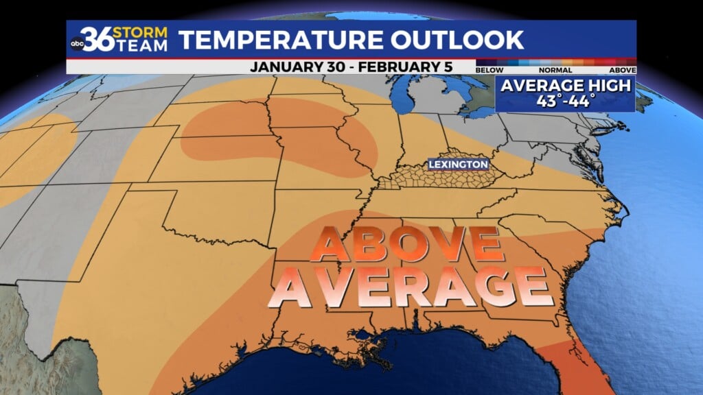
There is good news for the weekend as high pressure builds in and moves to the east allowing a southwest wind to kick in. This combined with abundant sunshine will set us up for one of the nicer days that we’ve seen in the last few weeks. Afternoon highs should jump back into the low-40s, which is right at average for late January so if you’ve been home bound for the last several days due to the cold and snow, this will be a great day to get out and enjoy some fresh air. A dry cold front may pass through Sunday but we aren’t expecting any impact from it, plus it now appears the system we’ve been watching for the end of the weekend will be suppressed to the south so look for a dry weekend from start to finish.
Our upward trend of temperatures will continue into early next week albeit slowly. It should be a welcome change of pace with a few quiet weather days on tap along with temperatures that are much more indicative of late January and a whole lot better than what we’ve seen much of the month. The only area that may see some precipitation is along the Kentucky/Tennessee border into Monday where some of the data still favors a few rain and/or snow showers but it still looks like the bulk of the moisture stays out of our area. Highs will climb into the mid to even upper 40s into the middle of next week and much of the model data keeps things dry with a hint of a few rain showers possibly creeping back in by next Thursday. Enjoy the better days ahead!
ABC 36 HOUR FORECAST
THURSDAY NIGHT: Scattered clouds and cold, a few flakes. Lows in the low-teens.
FRIDAY: Mostly sunny, a cold day. Highs in the mid-20s.
FRIDAY NIGHT: Mostly clear, still cold. Lows in the mid-teens.
THURSDAY NIGHT: Scattered clouds and cold, a few flakes. Lows in the low-teens.
FRIDAY: Mostly sunny, a cold day. Highs in the mid-20s.
FRIDAY NIGHT: Mostly clear, still cold. Lows in the mid-teens.
