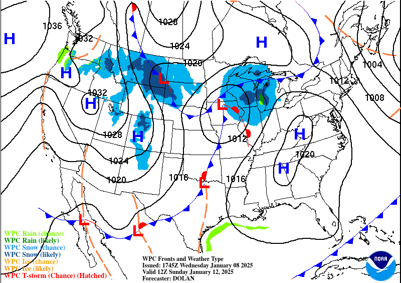
Probabilistic Heavy Snow and Icing Discussion
NWS Weather Prediction Center College Park MD
334 PM EST Wed Jan 8 2025
Valid 00Z Thu Jan 09 2025 - 00Z Sun Jan 12 2025
...Great Lakes and Northeast...
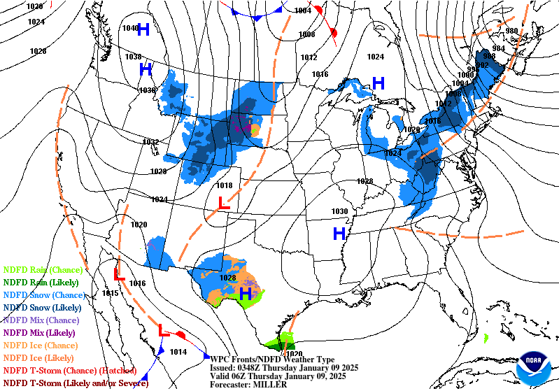
Day 1...
Broad upper low churning near Newfoundland and southeast Canada
will continue to help stream Arctic air over the Great Lakes
through early Thursday. Mostly nuisance lake-effect will continue
to develop in the wake of a shortwave trough currently over the
lakes. Expect the greatest coverage of lake-effect snows to form
off Lake Ontario, which is closest to the aforementioned upper low
and will therefore have the greatest access to moisture. WPC
probabilities for 2 inches of snow are over 80 percent for the Day
1/Thursday period from Oswego, NY south-southeast into the western
Finger Lakes. The probabilities for 4 inches of snow drop to
between 10 and 30 percent, reinforcing the idea that this snow will
be mostly nuisance and will not be a classic single well-defined
lake- effect band...but rather multiple bands with occasional
convective snow bursts. Surface high pressure building over the
lakes through the day will cause the lake-effect to diminish from
west to east, so Lake Ontario's bands will die off last...hence the
forecast for greater amounts of snow as compared to the upper
Lakes. The multi- bands ongoing off Lake Superior and especially
Lake Michigan should wane considerably this evening as the upper
level shortwave quickly shifts away from the lakes.
...Northern Rockies and Northern Plains...
Days 1 and 3...
A northern stream shortwave will dive south down the northern
Rockies and Plains tonight through Thursday. It will be riding the
LER of a 110 kt jet, but with cold air well in place, it will be
quite starved of moisture. Thus, for most valley locations, expect
up to 4 inches of snow from eastern Montana south through
Colorado. The Little Belt, Black Hills, and Bighorn Mountains of
Wyoming and Montana remain areas where upslope will enhance
snowfall rates, resulting in local totals up to 10 inches through
Thursday. WPC probabilities are for 10-40% chance of 2 inches of
snow for most of the Plains and valleys.
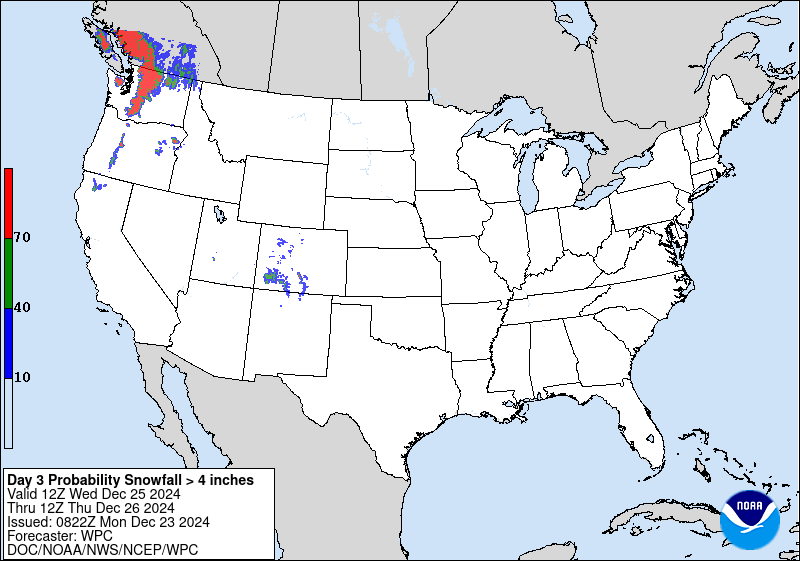
On Day 3/Friday night into Saturday, a potent shortwave entering
the Pacific Northwest will spread high elevation snow to the
Cascades and Northern Rockies as it pushes eastward and snow levels
are expected to start around 4500ft and fall to around 3000ft by
the end of the forecast period. Snowfall amounts could exceed a
foot into the Sawtooth and Bitterroot Ranges where WPC
probabilities for at least 12 inches are between 30 to 50%. Up to 8
inches are probable for the Yellowstone and Tetons, the Bighorns,
and Medicine Bow Ranges through Saturday.
...Southern Plains and Southeast...
Days 1-3...
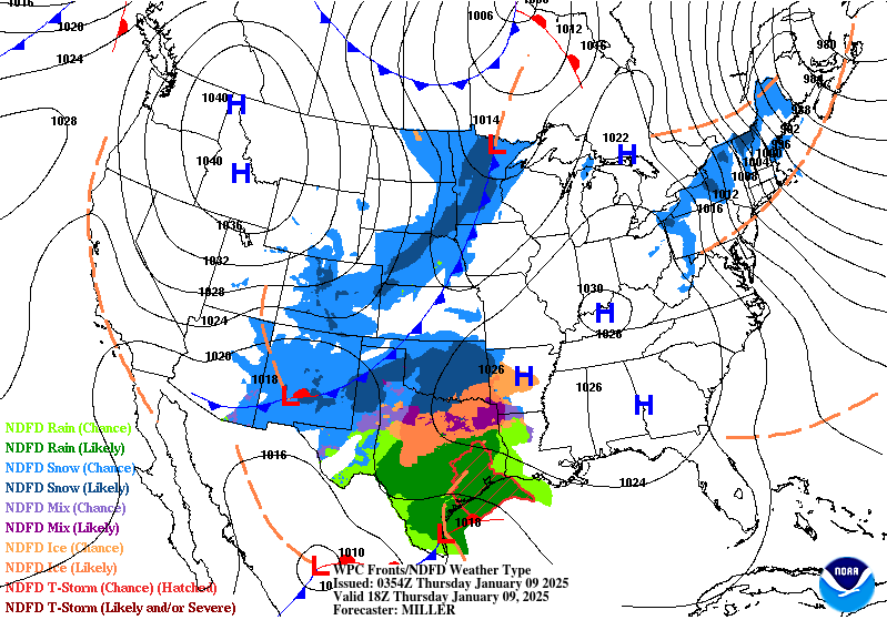
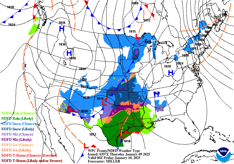
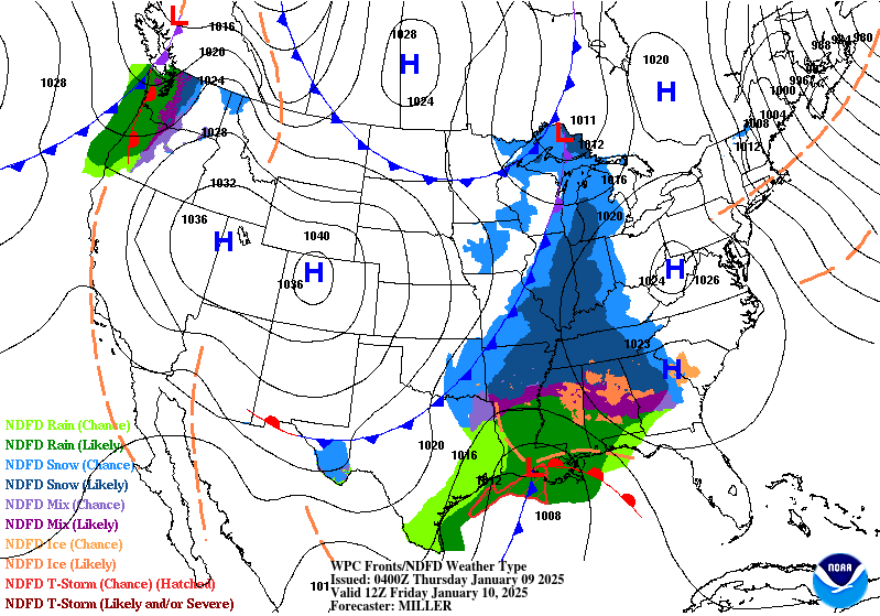
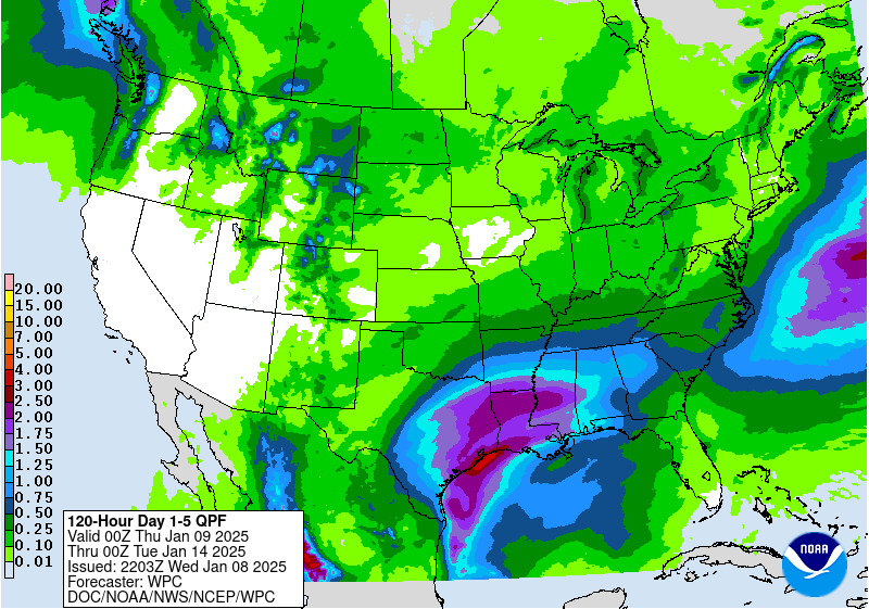
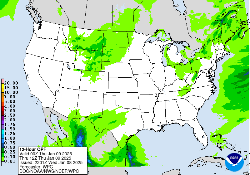
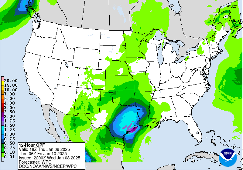
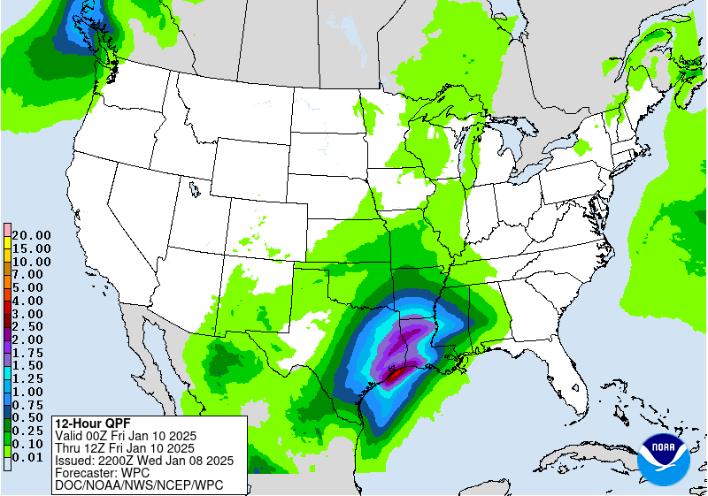
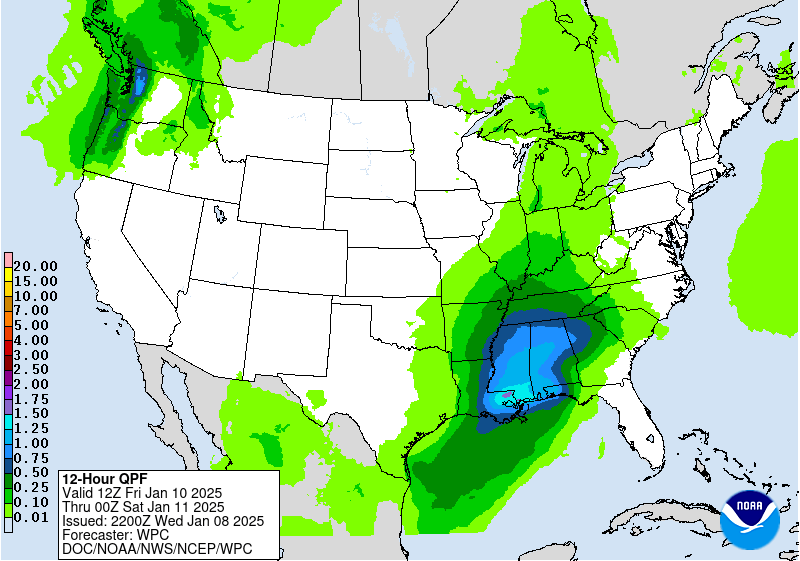
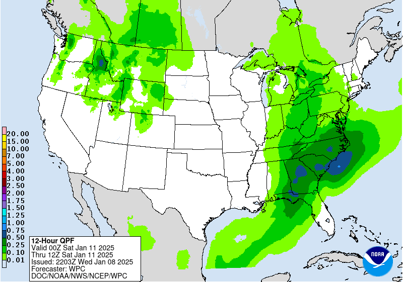
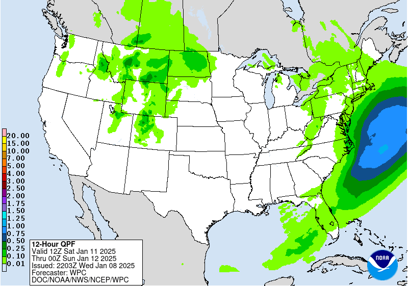
...Major winter storm is forecast to span from west Texas and
southeast Oklahoma beginning on Thursday before crossing through
much of the Mid-South and into portions of the Mid-Atlantic by the
end of the week...
A potent positively tilted longwave trough containing plentiful
upper level energy from an aforementioned upper level low will
support a very strong upper level jet that stretches from West
Texas east through the Carolinas. Surface cyclogenesis will occur
Thursday afternoon along the Texas Coast in the RER of that jet,
which will bed southward, thus maximizing the upper level
divergence over Louisiana. A plume of Gulf moisture will inject
into the low with maximum PWATs along the Texas Gulf Coast rising
to around 1.75 inches. While that level of moisture doesn't move
too far inland, a large fraction of it will, providing ample
moisture for the developing surface low. The associated low level
jet will advect much of that moisture up the Lower Mississippi
Valley.
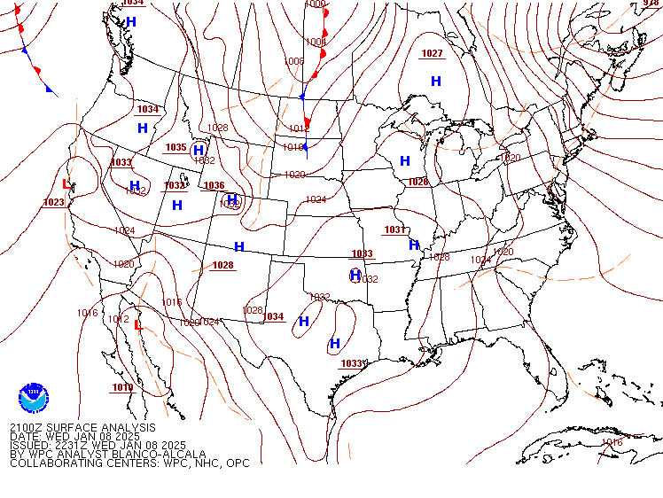
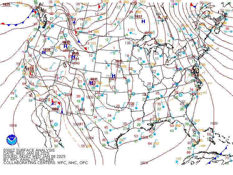
Meanwhile, an Arctic air mass will be in place due to a retreating
high pressure system over the Central Plains and Mid-South,
resulting in a strong temperature gradient which will both increase
the forcing as well as lift that moisture and effectively wring it
out, resulting in widespread wintry precipitation starting in
TX/OK and spreading east as far as the Mid-Atlantic Saturday
morning. The tight thermal gradient on the north and west side of
the low will promote a similarly tight gradient in snowfall amounts
and in the areas where the cold air at the surface is shallow, an
area of freezing rain/sleet will develop from the Big Bend of
Texas over northern Louisiana and into central Mississippi,
Alabama, and Georgia, with snow to the north of that from north-
central Texas east through the Tennessee Valley and into the
Virginias. For many this will be a very impactful snowfall event
and the first winter storm of the season for areas such as Dallas-
Fort Worth north and east through the Ozarks and into the Memphis
and Nashville metro areas. Potential forecasting challenges include
banding potential on the northern and northwest side of the low
increased by strong mid- level fgen and isentropic ascent through
the DGZ. This may lead to mesoscale banding that will become more
notable once inside the full suite of CAMs (most likely by the 12z
cycle today). This is particularly a concern for north-central TX
and OK on D1 where overall guidance had recently trended down in
amounts. For the DFW metro region, upper-end amounts have increased
as some ensemble members (particularly the ECENS) pick up on this
banding potential which allows for mixed precip to quickly change
to heavy snow Thursday night. Given the mesoscale nature of these
snowbands, conditions will likely drastically change over the
course of tens of miles, with the heaviest snow north-northwest
and lesser amounts to the south. From Texas through the Lower
Mississippi Valley, forecast snow amounts have come down nominally
along the ptype gradient, but have consequently increased for ice
accumulations, especially across southern Arkansas, where up to a
quarter inch of accumulation is possible. This amount of ice will
likely cause power outages, downed branches, and very treacherous
travel conditions. Meanwhile a few miles to the north towards the
Little Rock metro, up to 8 inches of snow are expected. WPC
probabilities show a 40 to 70 percent chance of at least 4 inches
of snow from southeast Oklahoma to the central Appalachians of West
Virginia.
Spanning farther east a WAA surge of snow is likely across the
Mid-South Friday morning extending toward the Southeast by the
afternoon hours. The southern track of this low pressure system
supports snow potential reaching pretty far south compared to
climatology, with ECMWF EFI values of 0.7-0.95 and an extreme shift
of tail of +8 stretching from northern MS to central GA.
Additionally, the deep cold air mass in place reinforced by a fresh
snowpack to the north will allow for low-level cold air to hold on
while warm air surges north in the mid-levels. This means that
areas along and just south of the I-20 corridor that begin as snow
will likely change over to sleet and freezing rain for a
potentially extended period of time.
WPC probabilities for moderate to major impacts extend from the
DFW Metroplex area north and east to the Ozarks, through Memphis
and northern MS before also spreading east to northern GA and the
southern Appalachians. For ice probabilities, there is a 50 to 80
percent chance of at least a tenth of an inch of ice around the
Arklatex region, with a stripe of low (10-30%) > 0.1" ice
probabilities stretch from northern MS, central AL,
central/northern GA and into the Tidewater of Virginia. Expect for
these chances to continue to increase with time.
The updated set of Key Messages follow.
Wegman/Snell
...Winter Storm Key Messages are in effect. Please see current
Key Messages below...
https://www.wpc.ncep.noaa.gov/key_messages/LatestKeyMessage_2.png
