Probabilistic Heavy Snow and Icing Discussion
NWS Weather Prediction Center College Park MD
215 PM EST Fri Jan 10 2025
Valid 00Z Sat Jan 11 2025 - 00Z Tues Jan 14 2025
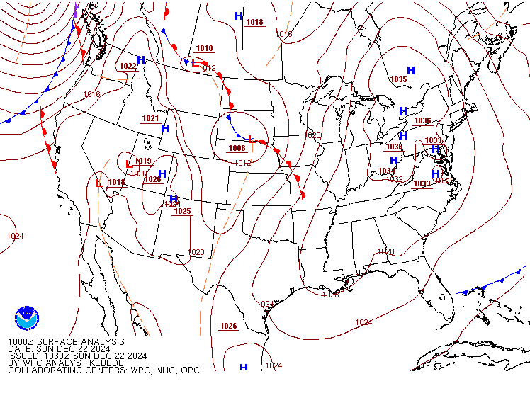
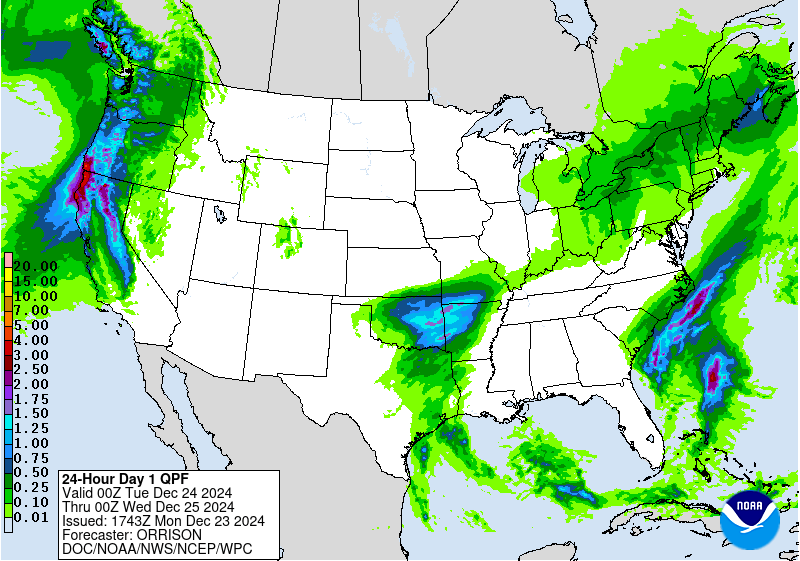
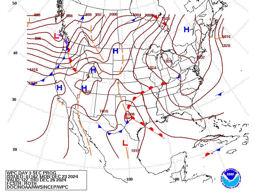
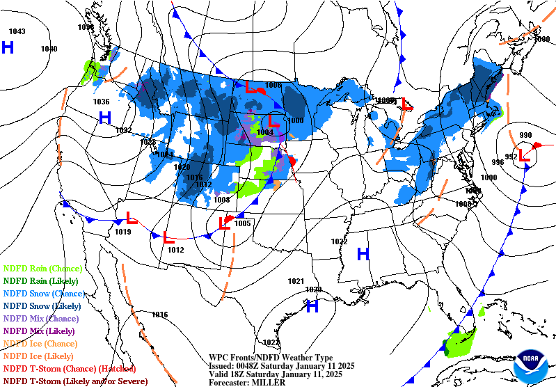
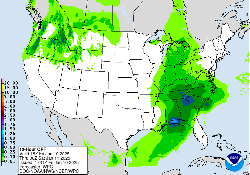
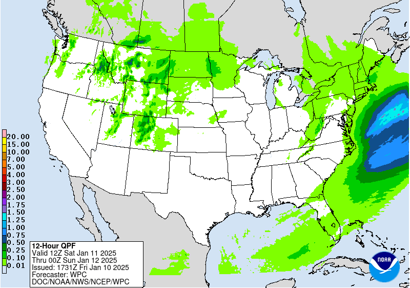
...Mid-South/Southeast into the Mid-Atlantic...
Days 1-1.5...
...Major winter storm to march eastward through the Southeast
this evening producing hazardous winter conditions across portions
of the Southeast and Mid-Atlantic through Saturday morning...
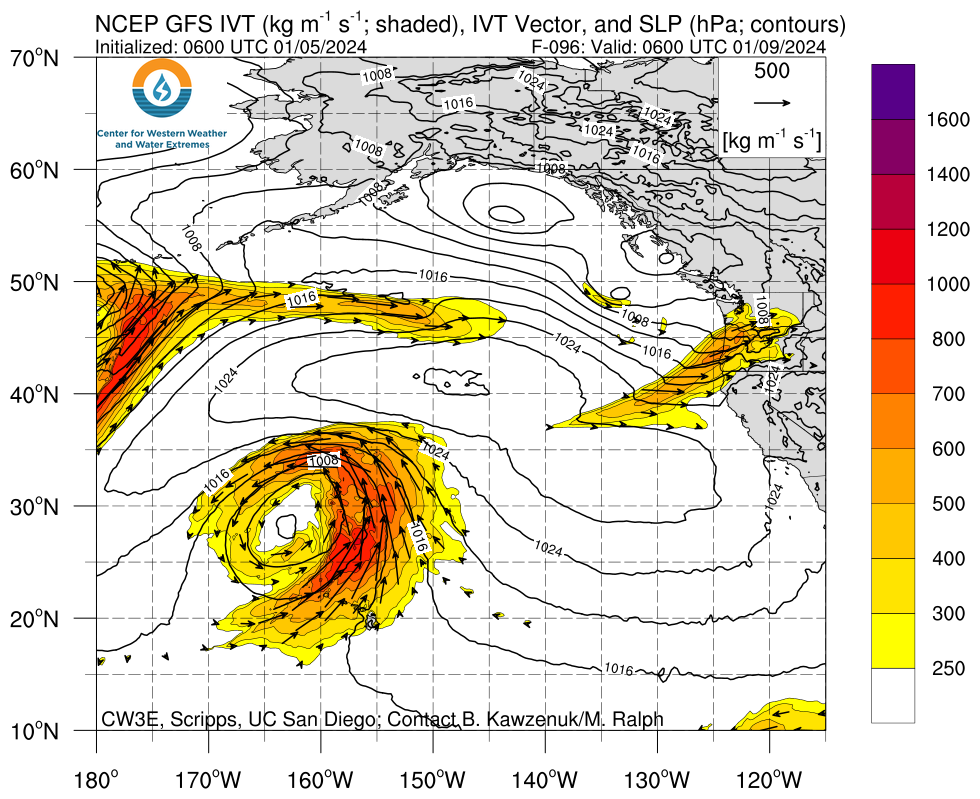
An elongated and positively tilted 250-500mb trough axis will
direct an exceptional >1,000 kg/m/s IVT at the Southeast through
this afternoon and into the evening hours. This rich moisture plume
will overrun an antecedent air-mass that remains sufficiently cold
enough to produce snow from the Tennessee Valley and southern
Appalachians on north and east into the southern Mid-Atlantic
tonight and Saturday morning. The heaviest snowfall this afternoon
on is likely to take shape from central Tennessee and the
Cumberland Plateau through the southern Appalachians. WPC
probabilities show moderate-to-high chances (50-70%) for snowfall
>4" along the Cumberland Plateau with similar odds for >6" of
snowfall in the >3,000ft elevations of the Smokeys. Over south-
central VA and points east to the DelMarVa Peninsula, strong 700mb
FGEN aloft combined with the region being located beneath the
divergent left-exit region of an impressive 140kt 500mb jet streak
will result in a band of heavy snow that could support up to 1"/hr
snowfall rates tonight and into early Saturday morning. Guidance
still is unsure as to if the band sets up closer to Richmond or
over the I-64 corridor between Richmond and Norfolk, but WPC
probabilistic guidance does show low chance probabilities (10-30%)
for snowfall >4" in some of these areas from southern VA to the
lower DelMarVa. Meanwhile in the Central Appalachians, from the
initial leading WAA-driven snowfall Friday night to the upslope
snowfall Saturday will support as much as 4-8" in the windward
slopes of the Laurel Highlands, Potomac Highlands, and on south
through the central West Virginia.
On the southern flank closer to the warm front, freezing rain and
sleet will be the primary precipitation type from northern Alabama
and northern Georgia on east through the heart of the Carolinas.
The latest NWS ice accumulation forecast does depict a swath of
>0.25" ice accumulations from the Atlanta metro through central
South Carolina, which would cause downed tree limbs and power
outages. Some power outages could also be longer-lasting in the
hardest hit areas. Expect widespread hazardous travel conditions
in these areas this afternoon and through tonight. The storm
concludes by midday Saturday in the southern Mid-Atlantic, but
any melting of snow.ice will likely re-freeze following a cold
Saturday night/Sunday morning, making for another morning of icy
travel in these affected areas of the Southeast on Sunday.
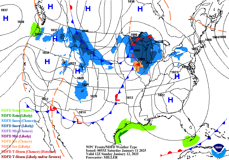
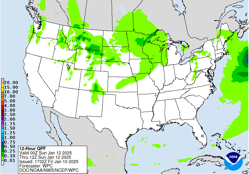
...Northwest to the Upper Midwest/Great Lakes...
Days 1-3...
Beginning tonight, a deepening upper level trough axis will be the
focus for spawning the next winter storm that will produce swath of
measurable snow from the Northern Rockies to the Great Lakes. This
trough is escorting a swath of >90th climatological percentile PWs
through the Pacific Northwest this afternoon and across the
Northern Rockies/Plains tonight. Periods of heavy mountains snow
are expected from elevations >3,000ft in the WA Cascades on east
through the Blue, Bitterroot, Lewis, and Teton ranges this evening
as a cold front advances through and the diffluent left-exit region
of a 120kt 250mb jet streak passes overhead. This same setup will
unfold overnight and into Saturday morning from the Little Belt
and Big Snowy of central Montana on south through the Central
Rockies. Through 00Z Sunday, these ranges in their more
elevated/remote elevations sport high chances (>70%) for snowfall
totals >8". Light snow will advance east through much of North
Dakota and into northern Minnesota throughout the day thanks to
weak 850-700mb WAA aloft.
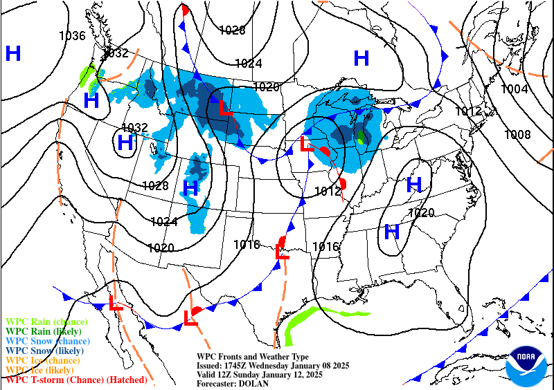
By Saturday night, an amplifying ridge along the northwest coast of
North America (causing a +PNA teleconnection) will help to dislodge
a 500mb closed low over central Canada and direct it south towards
the North Central U.S. on Sunday. Meanwhile, on the western flank
of this emerging longwave trough over the northern U.S., a steady
stream of 700-300mb moisture will advance south through the
Northern Rockies/Plains along with another cold frontal passage,
keeping periods of snow in the forecast in these areas through
Sunday. As high pressure over the Canadian Prairies builds in from
the north, favorable upslope flow will also continue as late as
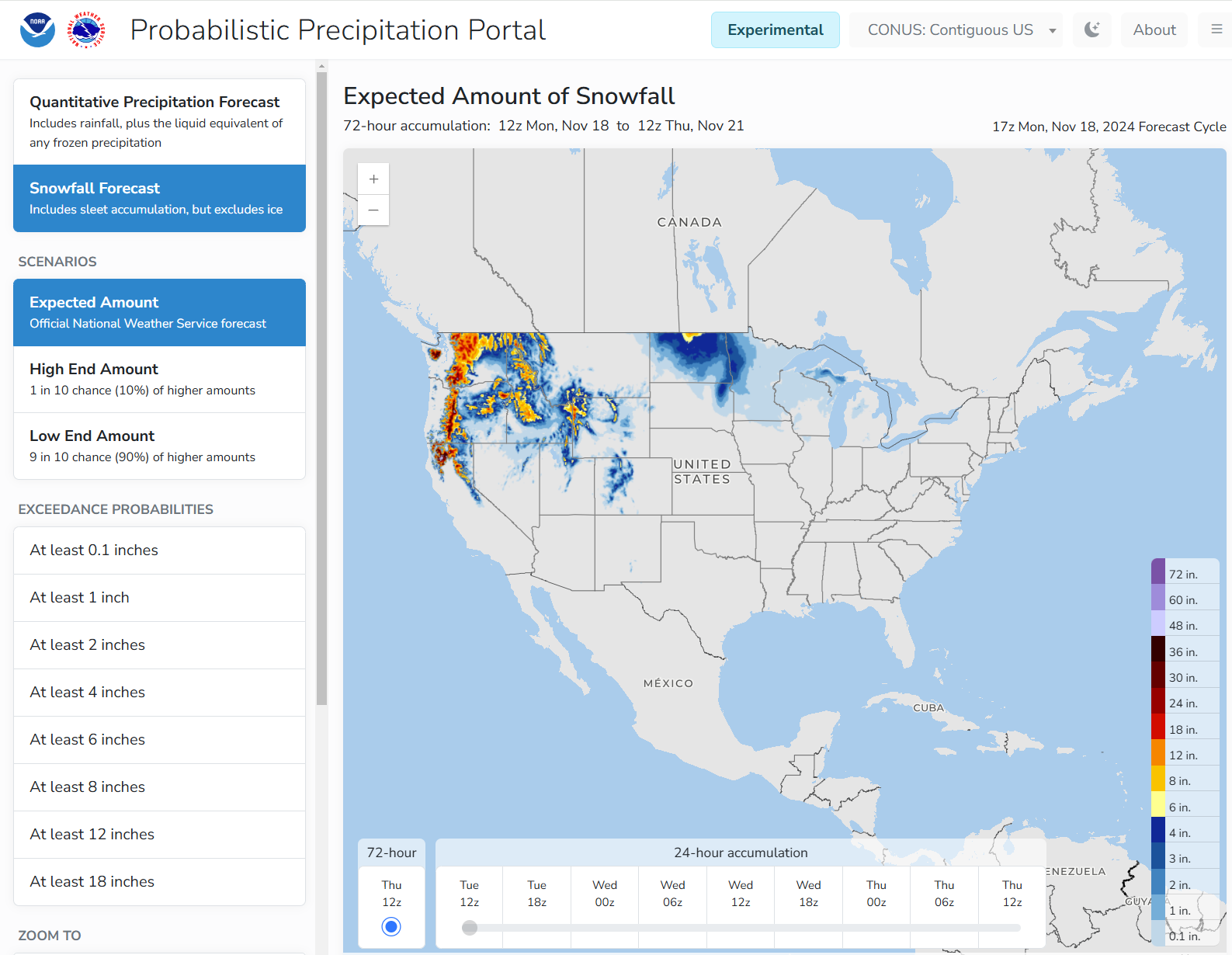
Sunday night. WPC 48-hour snow probabilities through parts of the
Little Belt, Big Snowy, Big Horns, and Black Hills with high
chances (>70%) for >12" through Sunday evening. The Little Belt and
Big Snowy are forecast to receive the heaviest snow fall amounts
with moderate-to-high chances (50-70%) for snowfall >24".
Farther east, the Alberta Clipper responsible for the snow in parts
of the North Central U.S. is feature a trailing cold front that
ushers in a colder air-mass in its wake Sunday night and into
Monday. The first round of snow in the Great Lakes arrives Sunday
via WAA aloft which will lead to generally light accumulations
Saturday night and into Sunday. One location that could see locally
heavy amounts is along the northern coast of the MN Arrowhead
where onshore flow off Lake Superior will result in lake-enhanced
snowfall rates on Sunday. By Sunday night, low-level CAA will race
over Lake Superior and kick-start LES bands into the usual snow
belts of the Michigan U.P. Monday morning, then over the
northwestern communities of Michigan's Mitten. Latest WPC
probabilities show the Huron Mountains sporting moderate chances
(40-60%) for snowfall totals >6" through Monday evening.
Mullinax
...Winter Storm Key Messages are in effect. Please see current
Key Messages below...
https://www.wpc.ncep.noaa.gov/key_messages/LatestKeyMessage_2.png

